5. VIDEO PLOTTER OPERATION
5-27
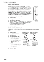
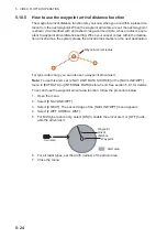
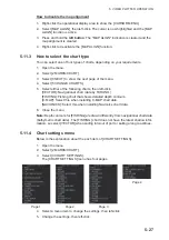
How to disable the map alignment
1. Right-click the operational display area to show the [CURSOR MENU].
2. Select [MAP ALIGN], then left-click. The cursor is now highlighted and the [MAP
ALIGN] function is active.
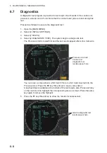
3. Press and hold the
left button
. The "MAP ALIGN" indication is cleared and the
map alignment is cleared.
4. Right-click to deactivate the [MAP ALIGN] function.
5.11.3
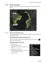
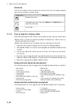
How to select the chart type
You can select one of four types of charts, depending on your requirements.
1. Open the menu.
2. Select [2 MARKS•CHART].
3. Select [0 NEXT] to show the next page of the menu.
4. Select [5 CHANGE CHARTS].
5. Select either of the following charts, then left-click.
[VECTOR]: Navigational chart (data by FURUNO).
[FISHING]: Fishing chart that shows detailed depth contours.
[C-MAP]: Select this when installing C-MAP chart data.
[NAVIONICS]: Select this when installing Navionics chart data.
6. Close the menu.
Note:
Depth contours for [FISHING] are drawn differently from navigational chart data
(bathymetric chart data). The [FISHING] chart does not have the latest shallow infor-
mation, so select [VECTOR] when sailing into/out of port or sailing along coastlines.
5.11.4
Chart settings menu
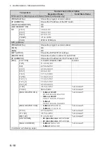
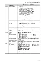
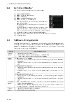
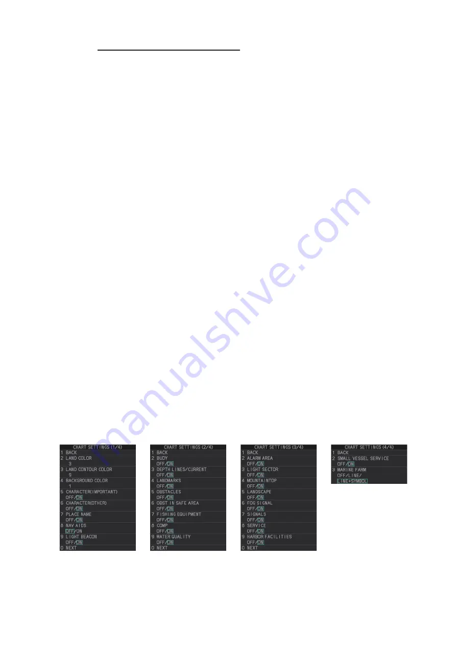
Below is the explanation about the each item of [CHART SETTINGS].
1. Open the menu.
2. Select [2 MARKS•CHART].
3. Select [3 CHART SETTINGS].
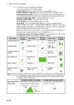
The [CHART SETTINGS] menu has four pages.
4. Select a menu item to change the settings, then left-click.
5. Change the settings, then left-click.
Page 1
Page 2
Page 3
Page 4
Summary of Contents for FAR-2218
Page 132: ...1 OPERATIONAL OVERVIEW 1 110 This page is intentionally left blank ...
Page 176: ...3 TARGET TRACKING TT 3 36 This page is intentionally left blank ...
Page 202: ...4 AIS OPERATION 4 26 This page is intentionally left blank ...
Page 232: ...5 VIDEO PLOTTER OPERATION 5 30 This page is intentionally left blank ...
Page 294: ......

