1. OPERATIONAL OVERVIEW
3
1.3
Choosing Display Mode
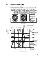
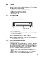
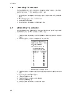
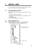
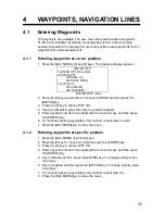
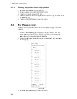
1. Press the [RADAR MENU] key.
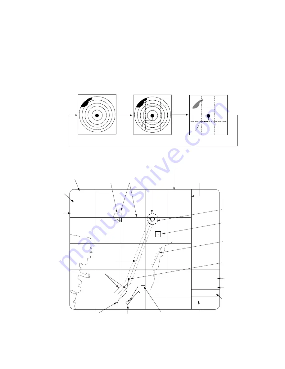
2. Press the [9] key to choose display mode desired. The illustration at the
bottom of the page shows a sample video plotter display. Note that the
video plotter is not available when SHIP TYPE is set for DEEP SEA.
Note:
When the radar display is selected, the display shows the indication
AIS: OFF and when the radar/video plotter display is in use the
indication AIS: ON appears. AIS-related alarms will be released even
if the display shows AIS: OFF, provided the AIS feature is active.
Radar Display
Radar/Video Plotter
Video Plotter
Display modes
10
011
POSN [DR] MAN
35
°
20.370 N
141
°
18.300 E
+CURSOR MAN
35
°
20.360 N
141
°
18.770 E
12
/
3.458NM
179.9
°
T
NORTH UP, TM
2
+
Data, Menu
Display
2002/05/19 13:28 (UTC)
NM
Nav Line
Planned
Route
Own Ship
Marker
Range
Cursor
Position
Cursor
Position
Arrival
Alarm
Range
Grid
Display
Mode
Range and
Bearing
to Cursor
Coastline
Prohibited
Area
Mark
Date,
Time
AIS Target
Symbol
Track
- - AIS ALARM - -
Message Area
(AIS-related
messages.)
AIS FUNC: ON
DISP: ON
Status of AIS function
Show ON to display
AIS symbols.
Waypoint
Video plotter display


