Astro 320 and DC40 Owner’s Manual
27
Waypoints, Routes, and Tracks
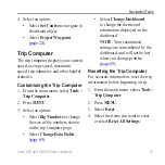
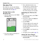
Digital Elevation Models Maps
Using Digital Elevation Models (DEM)
maps, you can create a track elevation
profile that includes elevation data. Go
for more information about
US Topo maps.
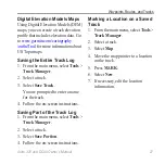
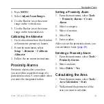
Saving the Entire Track Log
1. From the main menu, select
Tools
>
Track Manager
.
2. Select a track.
3. Select
Save Track
.
You are prompted to enter a name
for the track.
4. Follow the on-screen instructions.
Saving Part of the Track Log
1. From the main menu, select
Tools
>
Track Manager
.
2. Select a track.
3. Select
Save Portion
.
4. Follow the on-screen instructions.
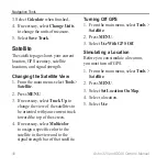
Marking a Location on a Saved
Track
1. From the main menu, select
Tools
>
Track Manager
.
2. Select a track.
3. Select
Map
.
4. Move the map pointer to a location
on the track.
5. Press
MARK
.
6. Select
New
.
7. If necessary, edit the location
information.
Summary of Contents for Astro 320
Page 1: ...Astro 320 owner s manual GPS enabled dog tracking system...
Page 78: ......
Page 79: ......


