


Cirrus Perspective
™
by Garmin – Pilot’s Guide for the SR20/SR22SR22T
190-00820-08 Rev. A
326
HAZARD AVOIDANCE
SY
STEM
O
VER
VIEW
FLIGHT
INSTRUMENTS
EIS
AUDIO P
ANEL
& CNS
FLIGHT
MANA
GEMENT
HAZARD
AV
OID
ANCE
AFCS
ADDITIONAL FEA
TURES
APPENDICES
INDEX
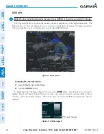
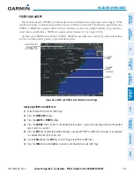
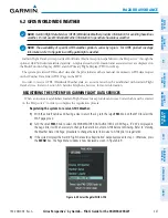
4)
Select the desired forecast time:
CURRENT
,
12 HR
,
24 HR
,
36 HR
, or
48 HR
. The
SFC
Softkey label changes
to reflect the forecast time selected.
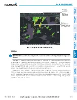
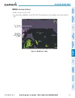
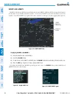
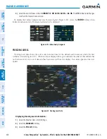
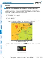
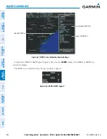
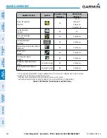
To display the Surface Analysis and City Forecast legend (Figure 6-29), select the
LEGEND
Softkey when
Surface Analysis and City Forecast are selected to be displayed.
Figure 6-29 Surface Analysis Legend
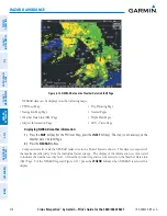
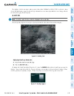
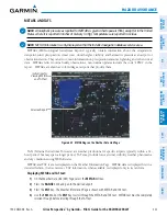
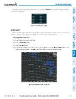
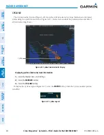
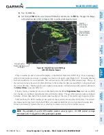
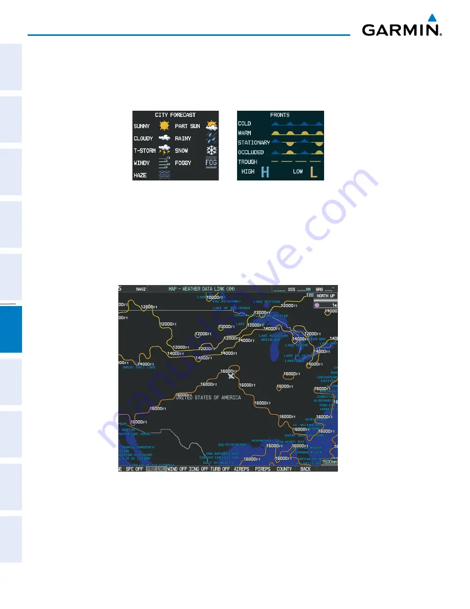
FREEZING LEVELS
Freezing Level data shows the color-coded contour lines for the altitude and location at which the first
isotherm is found (Figure 6-30). When no data is displayed for a given altitude, the data for that altitude has
not been received, or is out of date and has been removed from the display. New data appears at the next
update.
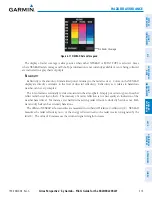
Figure 6-30 Freezing Level Data
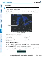
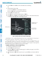
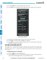
Displaying Freezing Level information:
1)
Select the Weather Data Link (XM) Page.
2)
Select the
MORE WX
Softkey.
3)
Select the
FRZ LVL
Softkey.
Summary of Contents for Cirrus Perspective SR20
Page 1: ... Cirrus SR20 SR22 SR22T Integrated Avionics System Pilot s Guide ...
Page 2: ......
Page 655: ......