Cockpit Reference Guide for the Cirrus SR2x with Perspective Touch+ by Garmin
190-02954-01 Rev. A
113
Hazard Avoidance
Flight
Instruments
EIS
Nav/Com/
XPDR/Audio
Flight
Management
Hazar
d
Avoidance
AFCS
Additional
Featur
es
Annun/Alerts
Appendix
Index
Flight
Instruments
EAS
Audio and
CNS
Flight
Management
Hazar
d
Avoidance
AFCS
Additional
Featur
es
Abnormal
Oper
ation
Annun/Alerts
Appendix
Index
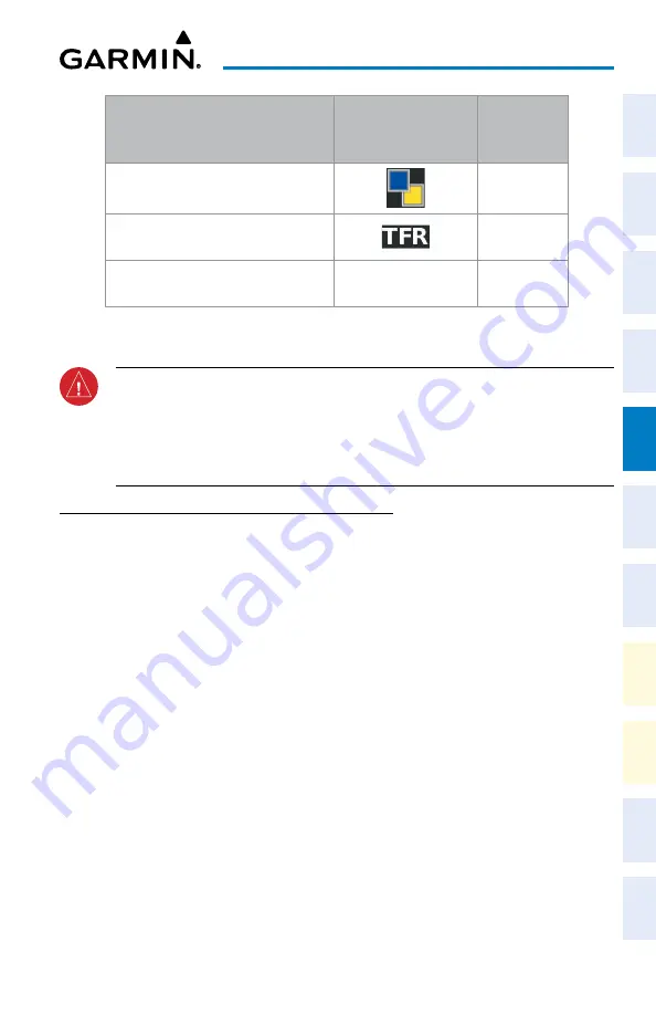
Garmin Connext Weather
Product
Product Symbol
Expiration
Time
(Minutes)
Pilot Weather Reports
(PIREPs)
90
Temporary Flight Restrictions
(TFRs)
60
Terminal Aerodrome Reports
(TAFs)
no product image
60
Garmin Connext Weather Product Symbols and Data Timing
WARNING:
Do not use the indicated data link weather product age to ascertain the
age of the weather information shown by the data link weather product. Due to time
delays inherent in gathering and processing weather data for data link transmission,
the weather information shown by the data link weather product may be older than
the indicated weather product age.
DISPLAyING DATA LINK WEATHER PRODUCTS
Weather Data Link Pane
Viewing the Weather Data Link Pane and changing the data link weather source, if
applicable:
1)
From MFW Home, touch the
Weather
Button. Button is highlighted and becomes
Weather Selection
Button. Selected display pane shows a weather pane. If a weather
pane other than ‘Data Link Weather’ is shown (such as ‘Weather Radar’ in the pane
title), continue with the procedure to view the desired Weather Pane. (SiriusXM, FIS-B, or
Connext).
2)
Touch the
Weather Selection
Button. The ‘Weather Selection’ Screen appears.
3)
Touch either
SiriusXM Weather, Connext Weather or FIS-B Weather
Button. Touched
button is highlighted and becomes the settings Button. For example, if the
SiriusXM
Weather
Button is touched it becomes the S
iriusXM Settings
Button.
4)
If not selected, touch either the
SiriusXM, Connext, or FIS-B Settings
Button to access
controls for the selected weather pane.
Selecting a Data Link Weather Source for Navigation Map Panes:
1)
From MFW Home, touch
Map > Map Selection > Map Settings
.
2)
If not selected, touch the
Sensor
Tab.


