
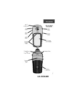
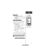
12
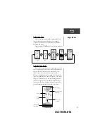
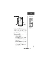
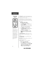
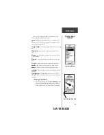
Map Page Basics
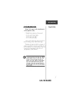
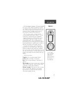
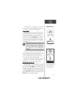
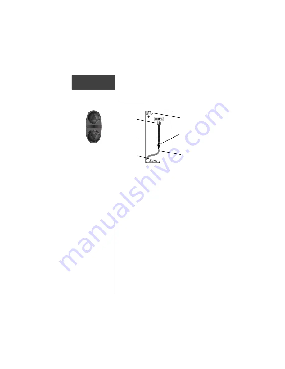
The Map Page shows where you are (the animated
figure) and provides a picture of where you are going. As
you travel, the animated figure “walks” and leaves a
“breadcrumb trail” known as a Track Log. Waypoint
names and symbols are also shown on the map.
To help you better visualize the “real world”, eTrex
Summit automatically rotates the map as you move, so
that waypoints that are ahead of you are always displayed
in front of the animated figure. In the upper left corner of
the screen the Map Orientation is displayed.
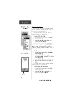
To make sure you can see your entire trip, the map
scale can be changed from 200 feet to 800 miles. To
increase the map scale, press the
UP
Button. This will let
you view a larger area in less detail. To decrease the map
scale, press the
DOWN
button. This will show a smaller
area with more detail.
Getting
Started
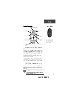
Page Basics
“You”; your
location
Map
Orientaion
Path to
Destination
Destination
Waypoint
Map Scale
“Trail”
(track log)
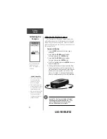
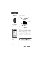
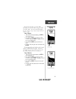
On the Map Page, the
UP
and
DOWN
Buttons are
used to adjust the map
scale from 200 feet to 800
miles.
UA-1005.014