25
Reference
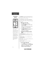
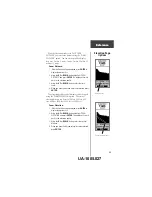
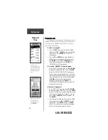
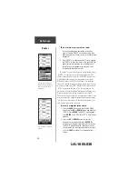
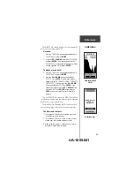
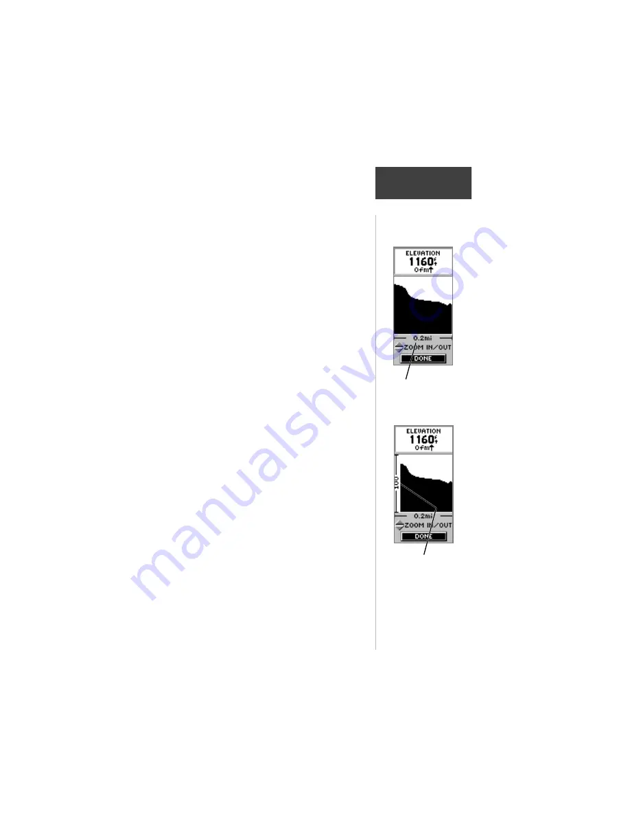
With the elevation profile set to ‘PLOT OVER
DISTANCE’ you can set the distance using the ‘ZOOM
DISTANCE” option. You can set the profile to display
data over .2 miles, .5 miles, 1 miles, 5 miles, 10 miles, 15
miles or 25 miles.
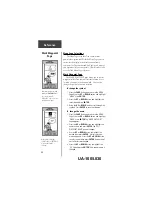
Zoom Distance:
1. With the Elevation Page displayed, press
ENTER
to
display the options list.
2. Using the
UP
or
DOWN
button highlight ‘ZOOM
DISTANCE’ and press
ENTER
. The display will switch
back to the elevation profile.
3. Using the
UP
or
DOWN
button, select the time
scale.
4. When you have the desired time scale selected, press
ENTER
.
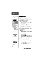
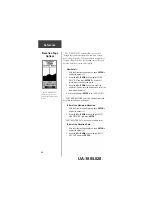
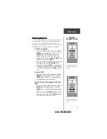
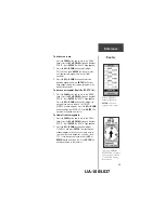
The elevation profiles vertical distance can be changed
using the ‘ZOOM ELEVATION’ option. The vertical
elevation distance can be set to 200 feet, 400 feet, 600
feet, 800 feet, 1000 feet, 2500 feet, or 5000 feet.
Zoom Elevation:
1. With the Elevation Page displayed, press
ENTER
to
display the options list.
2. Using the
UP
or
DOWN
button highlight ‘ZOOM
ELEVATION and press
ENTER
. The display will switch
back to the elevation profile.
3. Using the
UP
or
DOWN
button, select the vertical
distance.
4. When you have the desired vertical distance selected,
press
ENTER
.
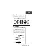
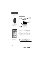
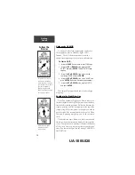
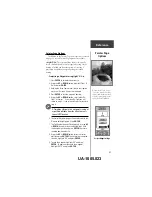
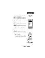
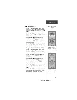
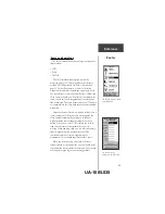
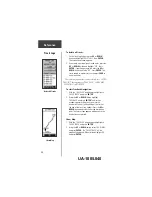
Distance Scale
Vertical Distance Scale
Reference
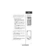
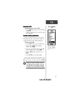
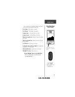
Elevation Page
Options
UA-1005.027


![Navig[8]r NAVBIKE-GPS User Manual preview](http://thumbs.mh-extra.com/thumbs/navig-8-r/navbike-gps/navbike-gps_user-manual_3574097-01.webp)