
47
Interface and
Heading Page
Reference
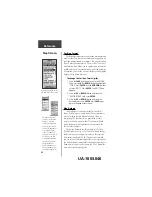
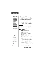
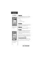
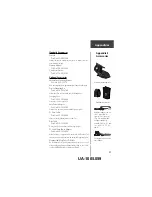
If ‘GARMIN DGPS’ or ‘RTCM/NMEA’ format is
selected, additional fields are provided to control a
GARMIN differential beacon receiver (e.g. GBR 21) directly
from your eTrex Summit. You can enter the beacon
frequency and bit rate when you select ‘User’ from the
Beacon pop-up list to manually tune the receiver (you can
also ‘scan’ if you don’t know what the nearby station is,
but the unit could continue scanning if reception is
temporarily lost).
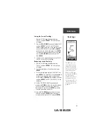
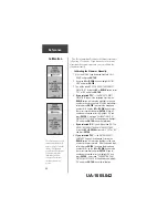
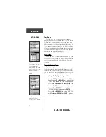
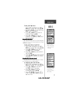
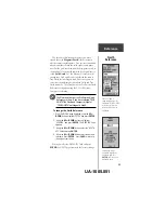
To select an I/O Format:
1. Press the
PAGE
button and switch to the ‘MENU’
Page. Use the
UP
and
DOWN
button and highlight
the ‘SETUP’ field. Press
ENTER
. The ‘SETUP’ Page
appears.
2. Press the
UP
or
DOWN
button and select the
‘INTERFACE’ field. Press
ENTER
. The ‘INTERFACE’
Page appears.
3. Press
ENTER
on the ‘I/O FORMAT’ field. Press the
UP
or
DOWN
button to select the desired format.
Press
ENTER
. Press
PAGE
to return to the page of
your choice.
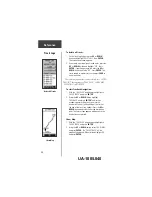
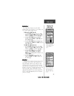
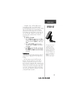
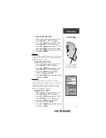
Heading Page
The eTrex Summit will automatically switch between
using Electronic Compass and GPS to determine your
heading.
The eTrex Summit needs to be held level for the
Electronic Compass to provide an accurate heading.
When mounting the eTrex Summit in a car or on a
bicycle, the unit will need to be tilted in order to see the
display, making the compass less accurate. eTrex Summit
will switch over, using GPS to track your heading when
you exceeds 10 miles per hour. When you slow down,
you can press and hold the PAGE button to switch back
to using the Electronic Compass.
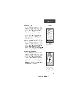
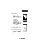
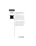
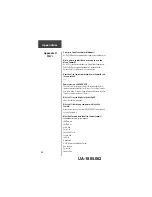
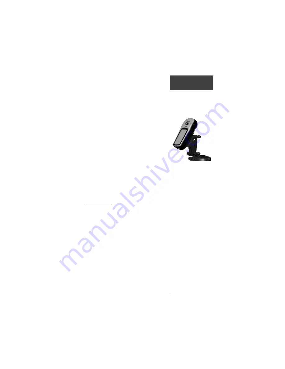
While mounted in a car or on
a bicycle the eTrex Summit
will be tilted enough for the
Electronic Compass to become
inaccurate. The eTrex Summit
will automatically switch to a
GPS heading when you exceed
10 mph. To switch back to the
compass press and hold the
PAGE
key or wait 90 seconds
after slowing below 10 mph.
UA-1005.049