Garmin G1000 Pilot’s Guide for the Diamond DA42NG
190-00-00962-02 Rev. A
312
HAZARD AVOIDANCE
SY
STEM
O
VER
VIEW
FLIGHT
INSTRUMENTS
EIS
AUDIO P
ANEL
& CNS
FLIGHT
MANA
GEMENT
HAZARD
AV
OID
ANCE
AFCS
ADDITIONAL FEA
TURES
APPENDICES
INDEX
6)
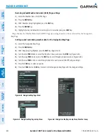
Enter the access code provided by Garmin Flight Data Services in the ‘ACCESS CODE’ field.
7)
Press the
ENT
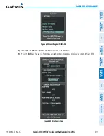
Key. ‘REGISTER’ will now be highlighted as in Figure 6-55.
8)
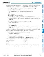
Press the
ENT
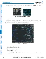
Key. The system will contact Garmin Flight Data Services. System registration is complete when
‘REGISTERED’ is displayed in the STATUS field.
ACCESSING WORLDWIDE WEATHER PRODUCTS FROM GFDS
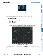
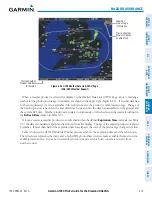
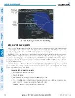
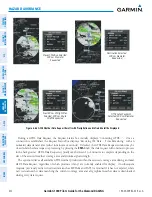
The principal map for viewing GFDS Weather data is the Weather Data Link (GFDS) Page in the Map Page
Group (Figure 6-56). This is the only map display capable of showing information for all available GFDS
Worldwide Weather products. This page is also used to select a weather data link source, if more than one
source has been installed. This page is also used to select a weather data link source, if more than one source
has been installed. The displayed weather products and softkeys correspond to the selected weather data link
source. No GFDS weather data is displayed until the first GFDS Weather Data Request is made.
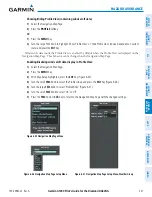
Viewing the Weather Data Link (GFDS) Page:
1)
Turn the large
FMS
Knob to select the Map Page Group.
2)
Turn the small
FMS
Knob to select the Weather Data Link (GFDS or XM) Page.
3)
If the page title displays ‘MAP - WEATHER DATA LINK (XM)’ and GFDS data is desired, proceed to the next step
to change the weather data link source to GFDS.
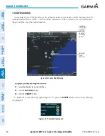
4)
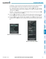
Press the
MENU
Key.
5)
Turn the
FMS
Knob to highlight ‘Display GFDS Weather’ and press the
ENT
Key. Page title displays ‘MAP -
WEATHER DATA LINK (GFDS)’ to indicate GFDS is the selected weather data link source.
Only one weather data link source may be selected for display at a time.

