


Garmin G1000 Pilot’s Guide for the Diamond DA42NG
190-00-00962-02 Rev. A
314
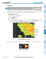
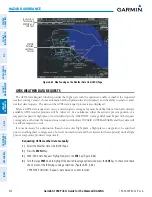
HAZARD AVOIDANCE
SY
STEM
O
VER
VIEW
FLIGHT
INSTRUMENTS
EIS
AUDIO P
ANEL
& CNS
FLIGHT
MANA
GEMENT
HAZARD
AV
OID
ANCE
AFCS
ADDITIONAL FEA
TURES
APPENDICES
INDEX
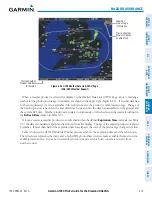
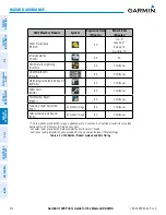
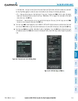
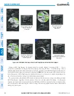
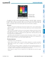
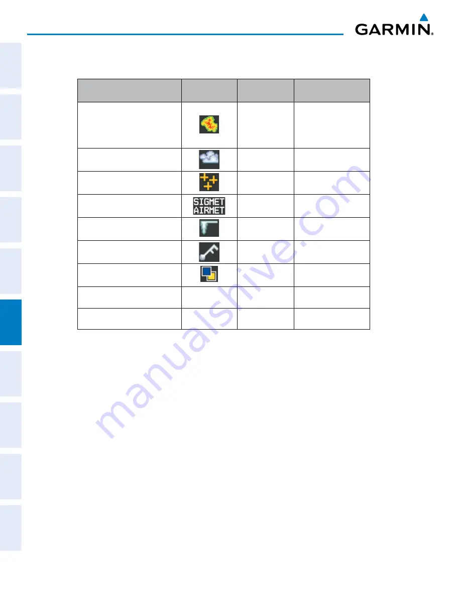
GFDS Weather Product
Symbol
Expiration Time
(Minutes)
Refresh Rate
(Minutes)
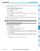
Radar Precipitation
(PRECIP)
30
U.S.: 3*
Canada: 3*
†
Europe: 15
Australia: 15ˆ
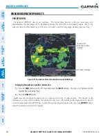
Infrared Satellite
(IR SAT)
60
30
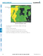
GFDS Data link Lightning
(DL LTNG)
30
Continuous
SIGMETs/AIRMETs
(SIG/AIR)
60
Continuous
Meteorological Aerodrome Report
(METARs)
90
Continuous
Winds Aloft
(WIND)
60
Continuous
Pilot Weather Report
(PIREPs)
90
Continuous
Temporary Flight Restrictions
(TFRs)
no product image
60
Continuous
Terminal Aerodrome Reports
(TAFs)
no product image
60
Continuous
* The composite precipitation image is updated every 3 minutes, but individual radar sites may take
between 3 and 10 minutes to provide new data.
†
Canadian radar precipitation data provided by Environment Canada.
ˆ Australian radar precipitation data provided by the Australian Bureau of Meteorology.
Table 6-5 GFDS Weather Product Symbols and Data Timing