190-00962-02 Rev. A
Garmin G1000 Pilot’s Guide for the Diamond DA42NG
351
HAZARD AVOIDANCE
SY
STEM
O
VER
VIEW
FLIGHT
INSTRUMENTS
EIS
AUDIO P
ANEL
& CNS
FLIGHT
MANA
GEMENT
HAZARD
AV
OID
ANCE
AFCS
ADDITIONAL
FEA
TURES
APPENDICES
INDEX
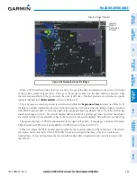
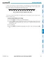
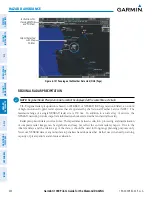
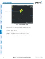
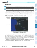
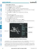
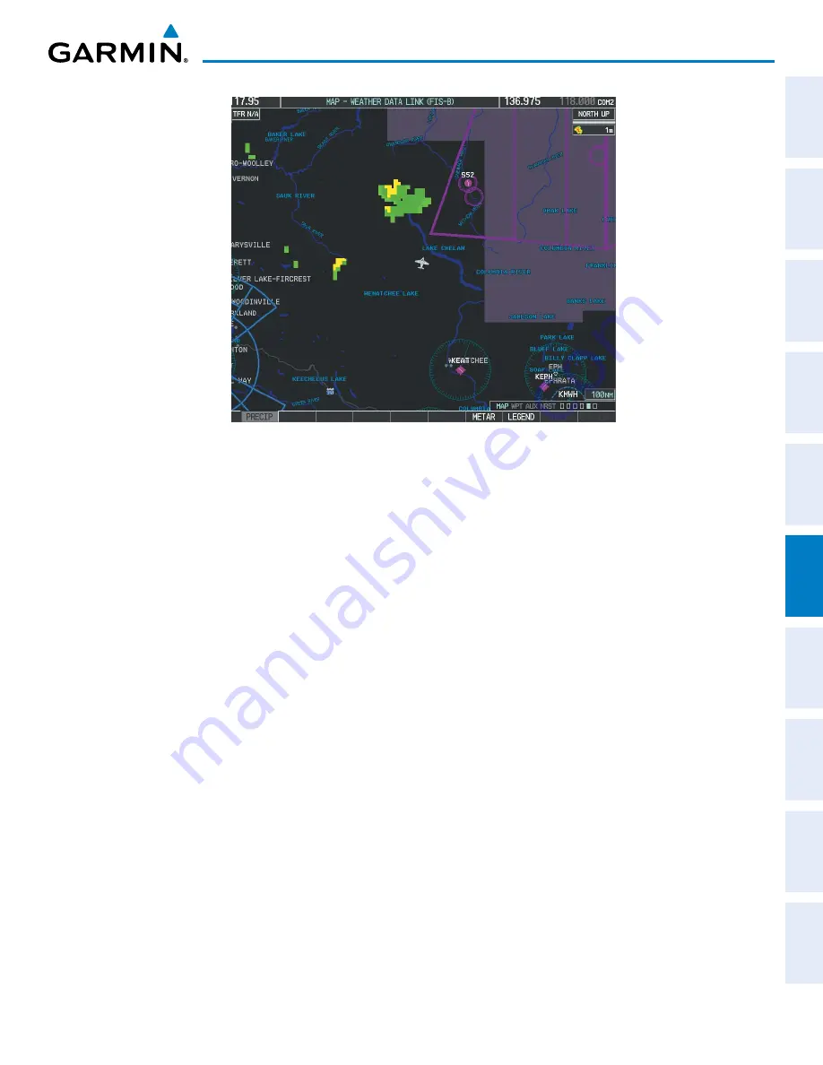
Figure 6-102 Regional Radar Precipitation Data on the Weather
Data Link (FIS-B) Page)
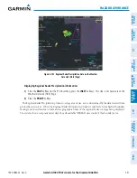
Displaying Regional Radar Precipitation information:
1)
Press the
MAP
Softkey (for the PFD Inset Map, press the
INSET
Softkey). This step is not necessary on the
Weather Data Link (FIS-B) Page.
2)
Press the
PRECIP
Softkey.
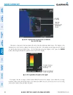
The Regional Radar Precipitation product coverage area varies, as it is determined by the data received from
ground-based sources. When the Regional Radar Precipitation product is enabled, a white hashed boundary
rectangle encloses this area to indicate the geographic limits of the regional radar coverage being displayed.
The system shows composite radar data from all available NEXRAD sites inside of this boundary area.

