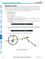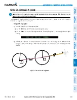
Garmin G1000 Pilot’s Guide for the Diamond DA42NG
190-00962-02 Rev. A
458
AUTOMATIC FLIGHT CONTROL SYSTEM
SY
STEM
O
VER
VIEW
FLIGHT
INSTRUMENTS
EIS
AUDIO P
ANEL
& CNS
FLIGHT
MANA
GEMENT
HAZARD
AV
OID
ANCE
AFCS
ADDITIONAL FEA
TURES
APPENDICES
INDEX
7.6 EXAMPLE FLIGHT PLAN
NOTE:
The following example flight plan and diagrams (not to be used for navigation) in this section are
for instructional purposes only and should be considered not current. Numbered portions of accompanying
diagrams correspond to numbered procedure steps.
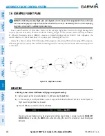
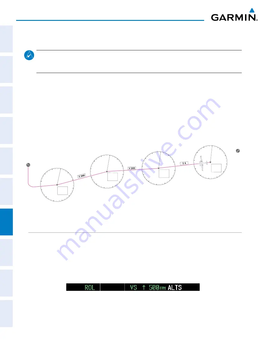
This scenario-based set of procedures (based on the example flight plan found in the Flight Management
Section) shows various GFC 700 AFCS modes used during a flight. In this scenario, the aircraft departs Charles
B. Wheeler Downtown Airport (KMKC), enroute to Colorado Springs Airport (KCOS). After departure, the
aircraft climbs to 12,000 ft and airway V4 is intercepted, following ATC vectors.
Airway V4 is flown to Salina VOR (SLN) using VOR navigation, then airway V244 is flown using GPS navigation.
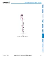
The ILS approach for runway 35L and LPV (WAAS) approach for runway 35R are shown and a missed approach
is executed.
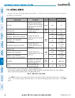
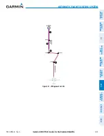
Figure 7-33 Flight Plan Overview
0
3
6
9
12
15
18
21
24
27
30
33
0
3
6
9
12
15
18
21
24
27
30
33
Salina
VOR
(SLN)
KMKC
Lamar
VOR
(LAA)
0
3
6
9
12
15
18
21
24
27
30
33
Hays
VOR
(HYS)
KCOS
V 244
V 4
V 244
0
3
6
9
12
15
18
21
24
27
30
33
Topeka
VOR
(TOP)
DEPARTURE
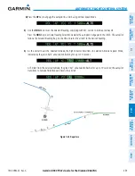
Climbing to the Selected Altitude and flying an assigned heading:
1)
Before takeoff, set the Selected Altitude to 12,000 feet using the
ALT
Knob.
2)
In this example, Vertical Speed Mode is used to capture the Selected Altitude (Pitch Hold, Vertical Speed, or
Flight Level Change Mode may be used).
a)
Press the
VS
Key to activate Vertical Speed Mode.
The Vertical Speed Reference may be adjusted after Vertical Speed Mode is selected using the
NOSE UP/
NOSE DN
Keys or pushing the
CWS
Button while hand-flying the aircraft to establish a new Vertical Speed
Reference.

