Garmin G1000 Pilot’s Guide for the Diamond DA62
190-00-01895-00 Rev. A
336
HAZARD AVOIDANCE
SY
STEM
O
VER
VIEW
FLIGHT
INSTRUMENTS
EIS
AUDIO P
ANEL
& CNS
FLIGHT
MANA
GEMENT
HAZARD
AV
OID
ANCE
AFCS
ADDITIONAL FEA
TURES
APPENDICES
INDEX
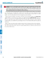
• The radar beam may overshoot precipitation occurring below the lowest antenna beam tilt angle (0.5°),
causing no precipitation to be displayed. An individual radar site cannot depict high altitude storms at
close ranges. It has no information about storms directly over the radar site.
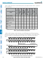
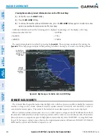
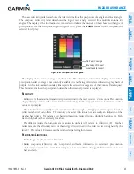
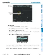
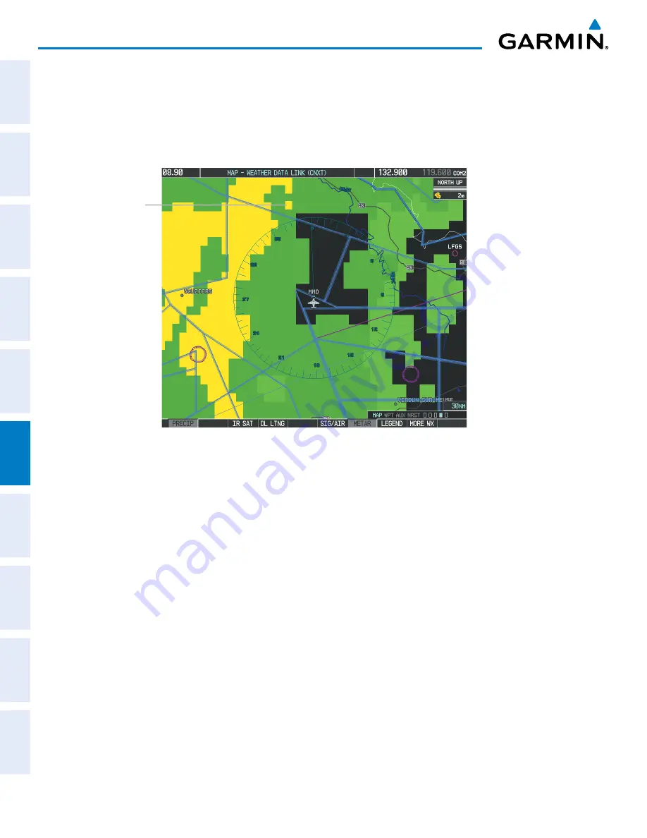
• When zoomed in to a range of 30 nm, each square block on the display represents an area of four square
kilometers.
Figure 6-70 Precipitation Data - Zoomed
Block Represents
4 km
2
The following may cause abnormalities in displayed radar images:
• Ground clutter
• Strobes and spurious radar data
• Sun strobes (when the radar antenna points directly at the sun)
• Interference from buildings or mountains, which may cause shadows
• Metallic dust (chaff) from military aircraft, which can cause alterations in radar scans


