GPS NAVIGATION
190-00692-00 Rev. B
5-4
Garmin G1000 Pilot’s Guide for Piper PA32
NAVIGATION MAP PAGE
This section describes the MFD Navigation Map Page setup and operation which in most cases will be a “one-
time” operation since the setup can be customized to accommodate the individual needs of the pilot.
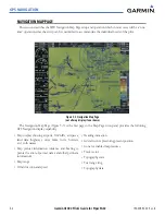
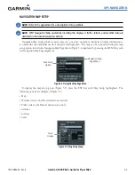
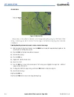
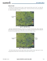
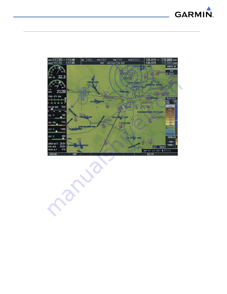
Figure 5-3 Navigation Map Page
(not all map display items shown)
The Navigation Map Page (Figure 5-3) is the first page in the Map Page Group and provides the following
GPS Navigation display capability:
• Map display showing airports, NAVAIDs, airspaces,
land data (highways, cities, lakes, rivers, borders,
etc.) with names
• Map pointer information (distance and bearing to
pointer, location of pointer, name, and other pertinent
information)
• Map range
• Wind direction and speed
• Heading indication
• Aircraft icon representing present position
• Icons for enabled map features
• Track vector
• Topography scale
• Fuel range ring
• Topography data
Summary of Contents for G1000:Piper
Page 1: ...Piper PA32...
Page 50: ...190 00692 00 Rev B Garmin G1000 Pilot s Guide for Piper PA32 1 40 SYSTEM OVERVIEW BLANK PAGE...
Page 438: ...190 00692 00 Rev B Garmin G1000 Pilot s Guide for Piper PA32 D 6 APPENDIX D BLANK PAGE...
Page 444: ...190 00692 00 Rev B Garmin G1000 Pilot s Guide for Piper PA32 F 4 APPENDIX F BLANK PAGE...
Page 450: ...Garmin G1000 Pilot s Guide for Piper PA32 190 00692 00 Rev B I 6 INDEX BLANK PAGE...

