


Garmin G1000 Pilot’s Guide for Piper PA32
190-00692-00 Rev. B
8-2
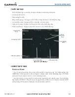
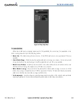
ADDITIONAL FEATURES
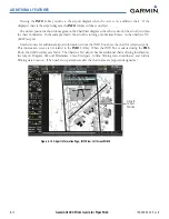
Any map page that displays the navigation view can also show the SafeTaxi airport layout within the maximum
configured range. The following is a list of pages where the SafeTaxi feature can be seen:
• Navigation Map Page
• Inset Map (PFD)
• Weather Datalink Page
• Airport Information Page
• Intersection Information Page
• NDB Information Page
• VOR Information Page
• User Waypoint Information Page
• Trip Planning Page
• Nearest Pages
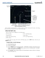
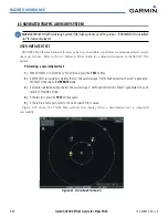
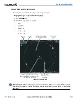
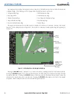
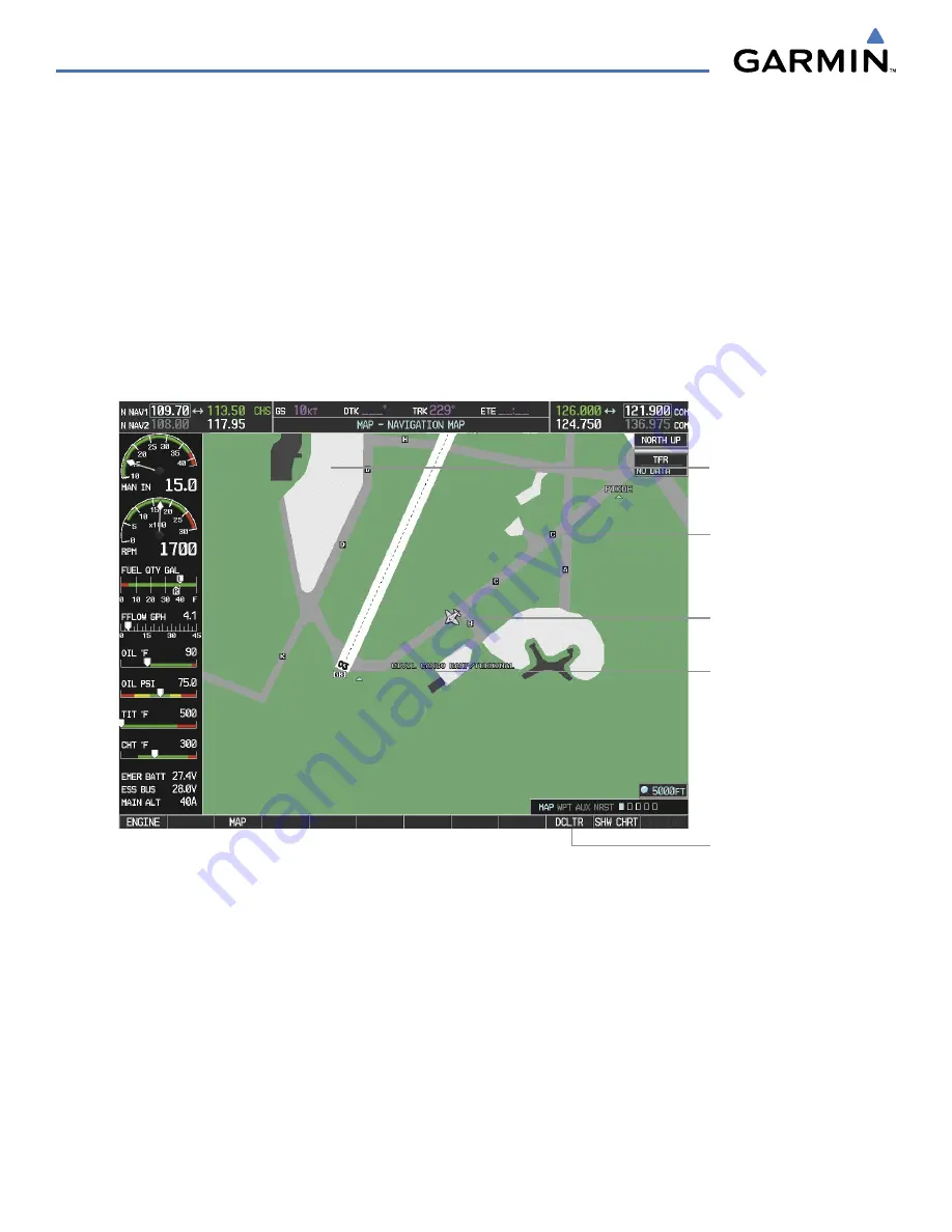
During ground operations the aircraft’s position is displayed in reference to taxiways, runways, and airport
features. In the example shown in Figure 8-1, the aircraft is on Taxiway Charlie approaching the beginning of
runway 03.
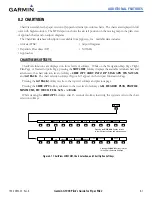
Figure 8-1 SafeTaxi Depiction on the Navigation Map Page
Aircraft
Position
Runway
Number
Airport
Features
Taxiway
Identification
DCLTR
Softkey
Removes
Airport Runway
and Taxiway
Markings
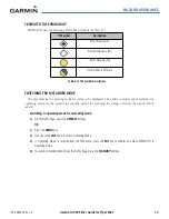
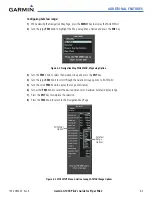
Pressing the
DCLTR
Softkey (declutter) once removes the taxiway markings and airport identification labels.
Pressing the
DCLTR
Softkey twice removes VOR station ID, the VOR symbol, and intersection names if within
the airport plan view. Pressing the
DCLTR
Softkey a third time removes the airport runway layout, unless the
airport in view is part of an active route structure. Pressing the
DCLTR
Softkey again cycles back to the original
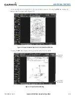
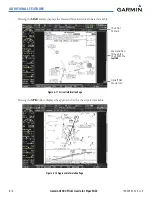
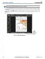
map detail. Refer to Map Declutter Levels in the GPS Navigation Section.
Summary of Contents for G1000:Piper
Page 1: ...Piper PA32...
Page 50: ...190 00692 00 Rev B Garmin G1000 Pilot s Guide for Piper PA32 1 40 SYSTEM OVERVIEW BLANK PAGE...
Page 438: ...190 00692 00 Rev B Garmin G1000 Pilot s Guide for Piper PA32 D 6 APPENDIX D BLANK PAGE...
Page 444: ...190 00692 00 Rev B Garmin G1000 Pilot s Guide for Piper PA32 F 4 APPENDIX F BLANK PAGE...
Page 450: ...Garmin G1000 Pilot s Guide for Piper PA32 190 00692 00 Rev B I 6 INDEX BLANK PAGE...