Garmin G3X Pilot’s Guide
190-01115-00 Rev. K
138
GPS Navigation
System
Overview
Flight
Instruments
EIS
CNS
Interface
GPS
Navigation
Flight
Planning
Hazar
d
Avoidance
Additional
Featur
es
AFCS
Annun/Alerts
Appendix
Index
MAP PANNING
Map panning allows the pilot to:
• View parts of the map outside the displayed range without adjusting the map
range
• Highlight and select locations on the map
• Review information for a selected airport, NAVAID or user waypoint
• Designate locations for use in flight planning
• View airspace and airway information
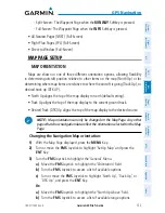
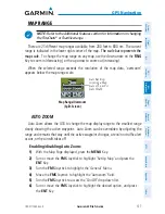
When the panning function is selected by pressing the
FMS
Joystick (
PAN MAP
Softkey on the Weather Page) the Map Pointer flashes on the map display. A window
also appears at the top of the map display showing the latitude/longitude position of
the pointer, the bearing and distance to the pointer from the aircraft’s present position,
the elevation of the land at the position of the pointer, or the object’s (airports,
obstacles, etc) elevation, if known.
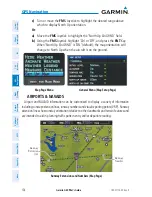
When the Map Pointer is placed on a map feature, the map feature is highlighted
and an information box appears (even if the name was not originally displayed on the
map).
Pressing the
ENT
Key displays a review page for the highlighted map feature. If
multiple features are present at the Map Pointer position, a green arrow will appear
in the information box. Turning the
FMS
Joystick will cycle through the list of map
features present at that position.
Summary of Contents for G3X Touch
Page 1: ...G3X Pilot s Guide ...
Page 2: ......
Page 4: ......
Page 10: ...Garmin G3X Pilot s Guide 190 01115 00 Rev K Warnings Cautions Notes Blank Page ...
Page 16: ...Garmin G3X Pilot s Guide 190 01115 00 Rev K RR 6 Blank Page ...
Page 469: ......


