3-24
Garmin G500H Pilot’s Guide
190-01150-02 Rev. J
For
ewor
d
Sec 1 System
Sec 2
PFD
Sec 3
MFD
Sec 4
Hazar
d
Avoidance
Sec 5
Additional Featur
es
Sec 6
Annun. & Alerts
Sec 7
Symbols
Sec 8
Glossary
Appendix A
Appendix B
Index
2) Turn the small
MFD
knob to change the highlighted value.
3) Press
ENT
to accept the displayed value.
4) Press the small
MFD
knob to cancel selection or to end editing and return to
the Navigation Map page or turn the large
MFD
knob to the next option.
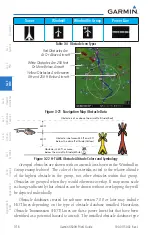
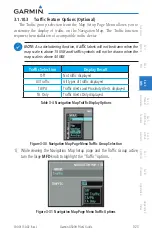
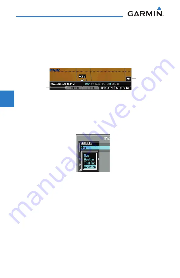
When the Traffic overlay is active on a Map page, a Traffic icon will be
displayed on the Map page where it is selected.
Traffic Overlay
Selected Icon
Traffic Overlay
Smart Key Label
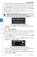
Figure 3-32 Navigation Map Traffic Overlay
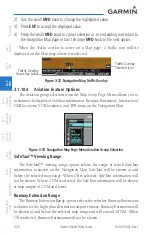
3.1.10.4 Aviation Feature Options
The Aviation group selection from the Map Setup Page Menu allows you to
customize the display of SafeTaxi information, Runway Extensions, Intersection/
NDB locations, VOR locations, and TFR icons on the Navigation Map.
Figure 3-33 Navigation Map Page Menu Aviation Group Selection
SafeTaxi™ Viewing Range
The SafeTaxi™ viewing range option selects the range at which SafeTaxi
information is shown on the Navigation Map. SafeTaxi will be shown at and
below the selected map range. When Off is selected, SafeTaxi information will
not be shown. Where 1 NM is selected, the SafeTaxi information will be shown
at map ranges of 1 NM and lower.
Runway Extension Range
The Runway Extension Range option selects the whether Runway Extensions
is shown for the flight plan destination airport runway. Runway Extensions will
be shown at and below the selected map range and will extend 10 NM. When
Off is selected, Runway Extensions will not be shown.
Summary of Contents for G500H
Page 1: ...G500H Pilot s Guide ...
Page 365: ......

