Garmin G950 Pilot’s Guide for the Pilatus PC-6
190-00870-02 Rev A
374
ADDITIONAL FEATURES
SY
STEM
O
VER
VIEW
FLIGHT
INSTRUMENTS
EIS
AUDIO P
ANEL
& CNS
FLIGHT
MANA
GEMENT
HAZARD
AV
OID
ANCE
AFCS
ADDITIONAL FEA
TURES
APPENDICES
INDEX
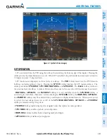
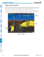
HORIZON HEADING
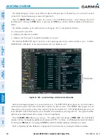
The Horizon Heading is synchronized with the HSI and shows approximately 60 degrees of compass
heading in 30-degree increments on the Zero Pitch Line. Horizon Heading tick marks and digits appearing
on the zero pitch line are not visible behind either the airspeed or altitude display. Horizon Heading is used
for general heading awareness, and is activated and deactivated by pressing the
HRZN HDG
Softkey.
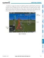
TRAFFIC
WARNING:
Intruder aircraft at or below 500 ft. AGL may not appear on the SVT display or may appear as a
partial symbol.
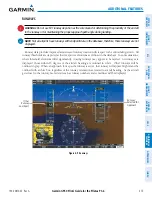
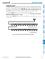
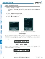
Traffic symbols are displayed in their approximate locations as determined by the related traffic systems.
Traffic symbols are displayed in three dimensions, appearing larger as they are getting closer, and smaller
when they are further away. Traffic symbols and coloring are consistent with that used for traffic displayed in
the Inset map or MFD traffic page. If the traffic altitude is unknown, the traffic will not be displayed on the
SVT display. For more details refer to the traffic system discussion in the Hazard Avoidance section.
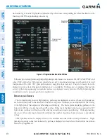
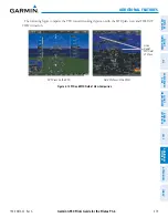
AIRPORT SIGNS
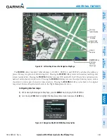
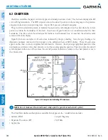
Airport Signs provide a visual representation of airport location and identification on the synthetic terrain
display. When activated, the signs appear on the display when the aircraft is approximately 15 nm from
an airport and disappear at approximately 4.5 nm. Airport signs are shown without the identifier until
the aircraft is approximately eight nautical miles from the airport. Airport signs are not shown behind the
airspeed or altitude display. Airport signs are activated and deactivated by pressing the
APTSIGNS
Softkey.
Figure 8-8 Airport Signs
Airport
Sign with
Identifier
(Between
4.5 nm and
8 nm)
Airport
Sign
without
Identifier
(Between
8 nm and
15 nm)
Traffic


