31
Part Three: Section 1
TAWS Introduction
Part Three:
TAWS Interface
Section 1: Introduction
NOTE
: Either the TERRAIN, TAWS (500W-series only),
HTAWS, or Terrain Proximity functionality will be avail-
able via the Terrain page, depending on the installed
hardware and configuration.
Overview
Garmin’s Terrain Awareness Warning System
(TAWS) is an optional feature (500W-series only) to
increase situational awareness and aid in reducing
controlled flight into terrain. Garmin TAWS satisfies
TSO-C151b Class B requirements for certification.
Class B TAWS is required for all Part 91 aircraft
operations with six or more passenger seats and for
Part 135 turbine aircraft operations with six to nine
passenger seats (FAR Parts 91.223, 135.154).
TAWS provides visual and aural annunciations
when terrain and obstacles are within the given altitude
threshold from the aircraft.
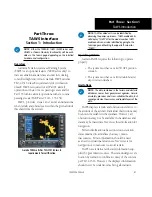
Garmin TAWS satisfies TSO-C151b Class B
requirements for certification
NOTE
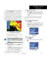
: TAWS-enabled units can be identified by
observing the power-up screens. TAWS-enabled units
will display “TAWS” after the model number. TAWS-
enabled units can also be identified by going to the
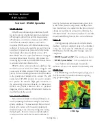
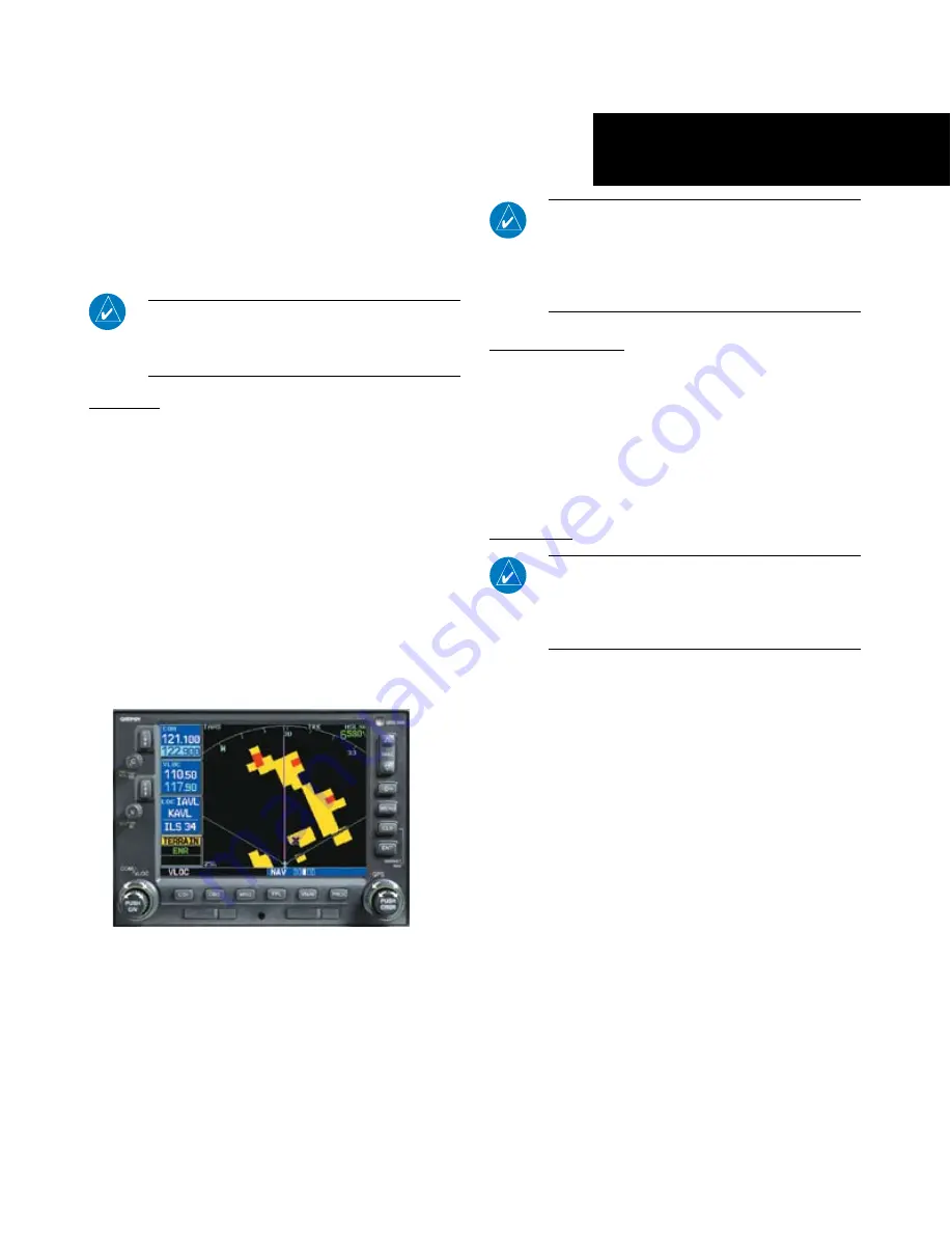
Terrain page and checking the upper left-corner for
“TAWS.”
Operating Criteria
Garmin TAWS requires the following to operate
properly:
• The system must have a valid 3D GPS position
solution
• The system must have a valid terrain/obstacle/
airport terrain database
Limitations
NOTE:
The data contained in the terrain and obstacle
databases comes from government agencies. Garmin
accurately processes and cross-validates the data, but
cannot guarantee the accuracy and completeness of the
data.
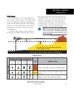
TAWS displays terrain and obstructions relative to
the altitude of the aircraft. Individual obstructions may
be shown if available in the database. However, all
obstructions may not be available in the database and
data may be inaccurate. Never use this information for
navigation.
Terrain information is based on terrain elevation
data contained in a database that may contain
inaccuracies. Terrain information should be used
as an aid to situational awareness. Never use it for
navigation or to maneuver to avoid terrain.
TAWS uses terrain and obstacle information sup-
plied by government sources. The data undergoes veri-
fication by Garmin to confirm accuracy of the content,
per TSO-C151b. However, the displayed information
should never be understood as being all-inclusive.
190-00356-30 Rev H


