1
190-00607-02 Rev C
Detailed Operation
Terrain
Custom Map and in the Terrain function. Use the
IN
and
OUT
keys at the bottom of the screen to zoom in
and zoom out. The zoom scale is shown in the lower
left corner of the screen.
Use the
BARO+
and
BARO-
keys at the bottom of
the screen to make minor adjustments to the baromet-
ric pressure value.
terrain option Page
The Terrain option page lets you select options for
the choices of Flight Plan, Map Orientation, and set-
ting the barometric pressure.
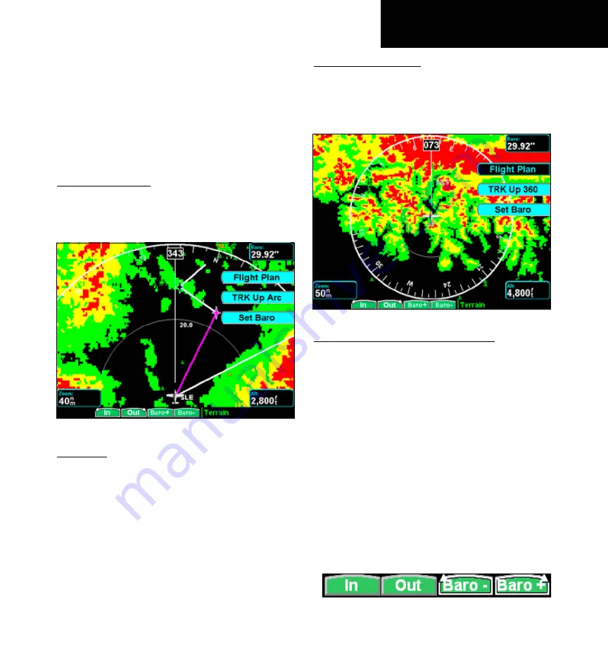
Terrain option page showing 120 degree arc
Flight Plan
The Flight Plan option controls the display of the
Flight Plan course line. Pressing the
Menu Item
key
next to the Flight Plan option toggles between showing
and not showing the Flight Plan route line.
If the flight plan provided by the navigator to the
GMX 200 has an invalid cross track error, the ownship
symbol will have a red “X” placed over it.
trK up Arc/trK up 360
The Terrain function display is always in the Track
Up mode. Pressing the
Menu Item
key toggles the
map orientation between
Track Up Arc
and
Track
Up 360
.
Terrain option page showing 360 degree arc
Set Barometer (Pressure Altitude only)
Use the Set Barometer option to enter the correct
barometric pressure for your area or adjust the current
value. This option is best for making large changes.
The
BARO +
and
BARO -
keys are more useful for
minor corrections. Use the
UP/DOWN
arrow keys to
increase or decrease the values. Use the
LEFT/RIGHT
arrow keys to move between characters. Press the
MENU/ENT
key to save the displayed barometric
pressure.
A “Confirm Current Baro” message is displayed at
the initial power-up and again once every 30 minutes
of operation as a reminder to check your baro setting.
Pressing the push button will toggle the rotary
knob control between IN/OUT and Baro +/Baro –.


