9
190-00607-02 Rev C
Detailed Operation
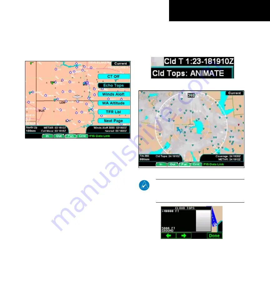
GDL 69/69A - FIS
GDL 69/69A FIS Current Menu Page 2
The second menu option page of the Current FIS
function lets you select options for the choices of:
Cloud Tops, Echo Tops, Winds Aloft, Winds Aloft
Altitude, and TFR Labels.
GDL 69/69A FIS Current Menu Page 2
Cloud Tops
Press
MENU/ENT
key and then press the
Cloud
Tops
key to toggle Cloud Tops on and off.
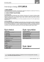
When enabled, Cloud Tops data depicts the cloud
top altitude determined from satellite imagery. Refer
to the legend for a description of the Cloud Tops color
coding. The update rate is every 15 minutes.
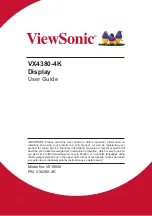
The Cloud Tops function has selections of CT On,
CT Off, and CT Animate. The Animate selection will
step through a number of time intervals to provide a
view of weather trends.
Up to the last 12 images are looped continuously.
The age of individual images is shown in the lower
right corner of the display. The time format shows
hours and minutes with the Zulu date and time. For
instance, 1:23 - 181910Z means the information is one
hour and 23 minutes old and was reported on the 18th
day of the month at 1910 Zulu time. When Cloud Top
animation is turned on, Coverage, METARs, Lightning,
Cell Move, Echo Tops, and Winds Aloft are not avail-
able. Selecting Nexrad Animation will disable CT On
and CT Animate. Only images received from the GDL
69/69A since power was applied are displayed.
Cloud Top animation detail showing image age
GDL 69/69A FIS Cloud Tops
NOTE:
Cloud Tops and Echo Tops use the same
color scaling to represent altitude. Both products
can not be displayed at the same time. Selecting
Cloud Tops automatically disables Echo Tops.
Cloud Top Legend


