67
190-00607-02 Rev C
Detailed Operation
GDL 69/69A - FIS
XM FIS Forecast Menu Item Page 3
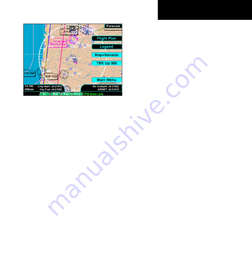
Flight Plan
Press
MENU/ENT
key and then press the
Flight
Plan
key to toggle the Flight Plan course line on and
off. The magenta line is the active leg.
If the flight plan provided by the navigator to the
GMX 200 has an invalid cross track error, the ownship
symbol will have a red “X” placed over it.
Legend
Press
MENU/ENT
key and then press the
Legend
Menu Item key to display the legends describing the
graphic display colors. Press the
Å
or
Æ
arrow keys
to display the legends for the selected services. Press
Done
to turn the Legends off. A graphic of each prod-
uct legend is shown on page 62.
Map Detail
Press
MENU/ENT
key and then press the Map
Detail key to choose between the display of No Over-
lays, the Base Map, or Map and Nav Aids.
SafeTaxi airport diagrams are always drawn if
available in the database. SafeTaxi airport diagrams
are drawn when the zoom scale is 15 NM, or lower,
with progressively more details shown as the scale
decreases.
Airport diagrams may show areas where extra
vigilance is recommended due to traffic congestion,
visibility constraints, or other unique circumstances.
These areas are called “hot spots” and are identified
by circular or elliptical lines. Although these areas are
highlighted as places where extra caution is war-
ranted and advised, they do not relieve the pilot of the
responsibility to “see and avoid” other traffic or obsta-
cles, on the airport surface or in the air. All taxiway
and runway intersections should be approached with
caution, whether they are marked with hot spots or
not. Runways where Land and Hold Short Operations
(LAHSO) may be in effect are identified with yellow
lines across the runway labeled “LAHSO”. Other areas
where extra vigilance is recommended, such as con-
struction zones, may also outlined with yellow lines.
Hot spots and other outlined areas are derived from
database information and may therefore contain errors
or may not be included in the database.
Map Orientation
Press
MENU/ENT
key and then press the Map
Orientation Menu to choose the configuration of the
map orientation of
DTK Up
,
North Up
,
TRK Up
,
TRK Up Arc
, or
TRK Up 360
.
Press the
Main Menu
key to return to the first
page of menu items.


