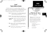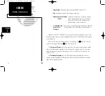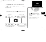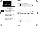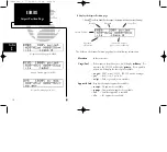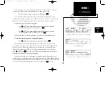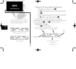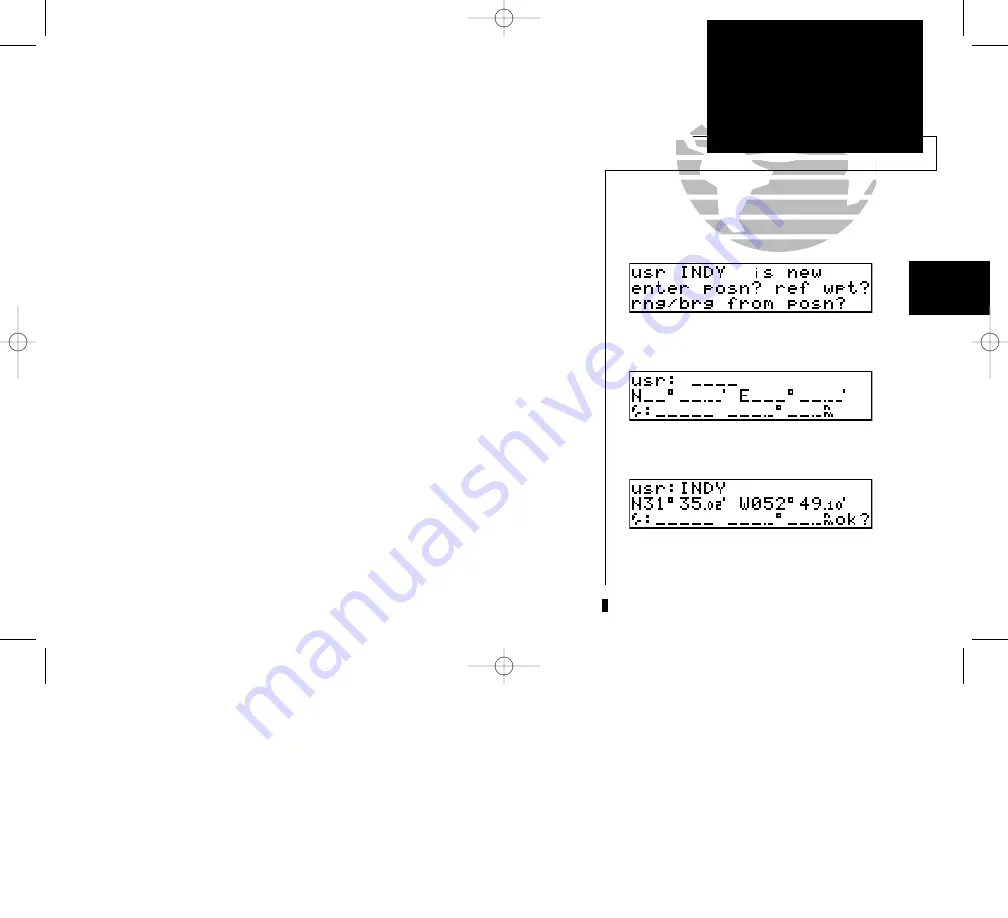
If the waypoint is new, you will be prompted to select the method to enter the
waypoint into the database. If the waypoint exists, skip the next step.
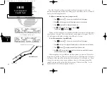
4. Select the method to enter the waypoint using
O
and press
E
.
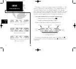
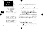
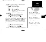
You will automatically be placed on either the latitude and longitude (if you
selected ‘enter posn?’), or on the ‘from’ field (if you selected ‘ref wpt?’), or on the ‘brg’
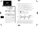
field (if you selected ‘rng/brg from posn?’) (see User Waypoint page at right).
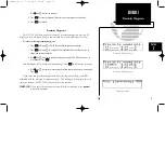
To enter the position of the user waypoint:
1. Use
K
and
O
to enter the latitude. You may select either north or south and
enter a latitude up to (but not including) 90°. Press
E
.
2. Use
K
and
O
to enter the longitude. You may select either east or west and
enter a longitude up to (but not including) 180°. Press
E
.
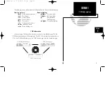
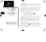
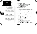
You may also enter a reference waypoint to calculate a bearing and distance.
To enter the reference waypoint, bearing and distance:
1. Use
K
and
O
to enter the reference waypoint’s identifier. Press
E
.
This will display the latitude and longitude of the identifier, if you have not
entered the user waypoint’s position. If you have, it will remain unchanged, and the
unit will calculate the bearing and distance to the identifier. If you would like to
change this information, or did not enter the waypoint position, enter them now
using
K
and
O
,and
E
to accept. All of these functions may be used together to
pinpoint the location of the new user waypoint.
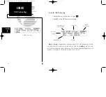
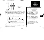
If you have chosen to create a waypoint at a certain bearing and distance from your
current position, your current position will be displayed, and you will enter the bearing and
distance from present position at which you would like the new waypoint to be located. This
will calculate the latitude and longitude of the new waypoint. Press
E
to accept.
35
REFERENCE
User Waypoints
Section
2
Selecting a method to enter a new user waypoint.
User Waypoint page
Entering the user waypoint’s exact position.
150man rev E 7/24/98 3:10 PM Page 35


