6
GPSMAP
®
6000/7000 Series Owner’s Manual
Charts and 3D Chart Views
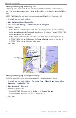
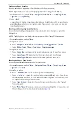
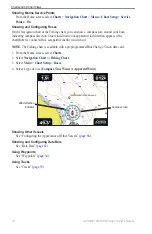
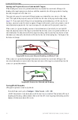
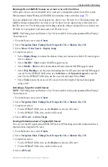
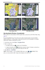
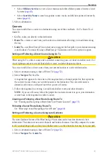
Photo Map at 50%
Photo Map at 100%
Photo Overlay Off
Land Only Photo Overlay
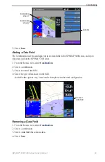
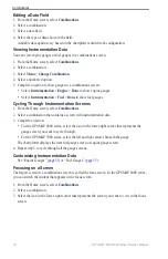
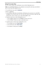
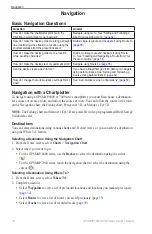
Viewing Aerial Photos of Landmarks
Before you can view aerial photos on the Navigation chart, you must turn on the Photo Points setting
(
Preprogrammed BlueChart g2 Vision data cards contain aerial photographs of many landmarks,
marinas, and harbors. Use these photos to help orient yourself to your surroundings or to acquaint
yourself with a marina or harbor prior to arrival.
1. From Home screen, select
Charts
>
Navigation Chart
.
2. Select a camera icon.
A standard camera icon ( ) indicates an overhead photo.
A camera icon with a cone (
) indicates a perspective photo. The photo was taken from
the location of the camera, pointed in the direction of the cone.
3. Select
Review
>
Aerial Photo
.
Note
: Press the Range (-/+) keys (GPSMAP 6000 series) or touch or (GPSMAP 7000
series), to zoom out and in while viewing the aerial photo on the full screen.
•
•

