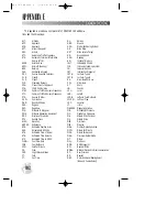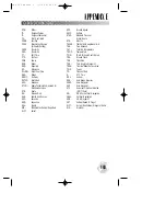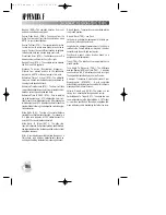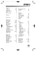
ALT-
Altitude
APP-
Approach
APR-
Approach
APT-
Airport Waypoint
ARV-
Arrival
ATF-
Aerodrome Traffic Frequency
ATS-
Automatic Terminal Information
Service (ATIS)
AVGS-
Aviation Gas
AZM-
Azimuth (bearing)
BRG-
Bearing
CAS-
Calibrated Airspeed
CDI-
Course Deviation Indicator
CL B-
Class B
CL C-
Class C
CLR-
Clearance Delivery
CPA-
Closest Point of Approach
CTA-
ICAO Control Area
CTAF-
Common Traffic Advisory Frequency
CTF-
Common Traffic Advisory Frequency
CTS-
Course To Steer
CUM-
Cumulative
DALT-
Density Altitude
DEG-
Degrees
DEP-
Departure
DIS-
Distance To Waypoint
DME -
Distance Measuring Equipment
DOP-
Dilution of Precision
DTK-
Desired Track
ELEV-
Elevation
ENDUR-
Endurance
EPE-
Estimated Position Error
ESA-
Enroute Safe Altitude
ETA-
Estimated Time of Arrival
ETE-
Estimated Time Enroute
ETV
Estimated Time to VNAV
FLOW-
Fuel Flow Rate
FOB-
Fuel On Board
FPM-
Feet Per Minute
FR-
From
FSS-
Flight Service Station
FT-
Feet
FT-
Full Time
GL-
Gallons
GND-
Ground
GPS-
Global Positioning System
GR
Glide Ratio
GRT
Glide ratio to Target
GS-
Ground Speed
HDG-
Heading
HG-
Inches of Mercury
IALT-
Indicated Altitude
ILS-
Instrument Landing System
IG-
Imperial Gallons
INT-
Intersection Waypoint
JET A-
Jet Fuel - Type A
JET B-
Jet Fuel - Type B
KH-
Kilometers Per Hour
KM-
Kilometers
KT-
Knots
LB-
Pounds
LCL-
Local
LEN-
Length
LFOB-
Leftover Fuel On Board
LFLOW-
Left Fuel Flow
LOC-
Localizer
LT-
Liters
MAG VAR-
Magnetic Variation
MB-
Millibars Of Pressure
MF-
Mandatory Frequency
MH-
Statute Miles Per Hour
MI-
Statute Miles
MIN-
Minimum
MIN -
Minutes
MOA-
Military Operations Area
MPM-
Meters Per Minute
MPS-
Meters Per Second
MSA-
Minimum Safe Altitude
MT-
Meters
MUL-
Multicom
NDB-
NDB Waypoint
NM-
Nautical Miles
NMEA-
National Marine Electronics Association
NP-
Non-Precision
NR-
Nearest
OBS-
Omni-directional Bearing Select
(Inbound Course Select)
APPENDIX E
102
ABBREVIATIONS
This appendix provides a complete list of GPSMAP 195 abbrevia-
tions and their meanings.
gps 195 manual C 7/1/99 4:49 PM Page 102


