REFERENCE
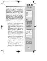
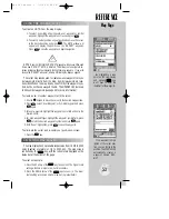
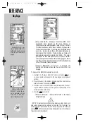
By highlighting a way-
point on the map display,
and pressing
©
©
you
won’t have to enter the
identifier for the waypoint.
If no waypoint is high-
lighted at the cursor posi-
tion, you can still go to the
position. The GPSMAP 195
automatically creates a
waypoint named ‘MAP-
WPT’.
53
USING THE CURSOR (cont.)
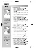
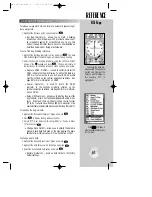
To activate a GOTO from the map display:
1. To select an existing airport, navaid, user waypoint or symbol
waypoint, highlight the waypoint on screen and press
T
.
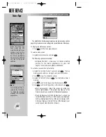
2. To select a cursor position as your destination, move the cursor
to the desired position and press
G
. The GOTO window will
appear and display the position as the ‘MAPWPT’ waypoint.
Press
T
to save the waypoint and begin navigation.
NOTE
: Keep in mind that the ‘MAPWPT’ waypoint will be overwritten each
time a new ‘MAPWPT’ GOTO is initiated. This allows you to navigate to on-
screen locations without permanently storing them as waypoints. If you wish
to save the ‘MAPWPT’ waypoint, rename it following the steps on page 38.
The cursor may also be used to create new user waypoints or sym-
bol waypoints directly from the map. Symbol waypoints are loca-
tions identified on the map by any one of thirty-five waypoint sym-
bols, but do not have a waypoint name. The GPSMAP 195 stores up
to 250 symbol waypoints (see page 39 for more information).
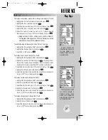
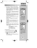
To create a user or symbol waypoint with the cursor:
1. Use the
R
keypad to move the cursor to the desired map position.
2. Press
T
, select ‘User Waypoint’ or ‘Symbol Waypoint’ and press
T
again.
3. For user waypoints, highlight the waypoint name field and enter the
desired name.
4. For both waypoint types highlight the waypoint symbol field, press
T
, select the desired waypoint symbol and press
T
again.
5. With ‘Done?’ highlighted, press
T
to save the waypoint.
To eliminate the cursor and re-center your position on-screen:
1. Press the
Q
key.
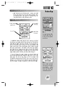
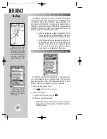
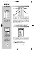
The map display has 21 available range scales from 1/10th to 3000
miles (nautical or statute; or 1/4 to 5000 km). The map scale is
controlled by the
A
key, with the current scale displayed on the
status bar at the bottom of the page.
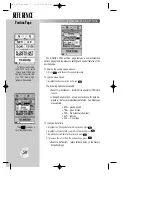
To select a map scale:
1. Press the UP arrow of the
A
key to zoom out. The higher scale
setting will show a larger area, but in less detail.
2. Press the DOWN arrow of the
A
key to zoom in. The lower
scale setting will show a smaller area, but in greater detail.
#
?
SELECTING MAP SCALES
Map Page
gps 195 manual C 7/1/99 4:49 PM Page 53


