REFERENCE
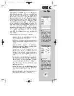
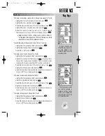
Geographic detail may
also be enabled/disabled by
defining the maximum scale
at which each feature will
appear.
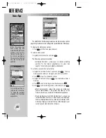
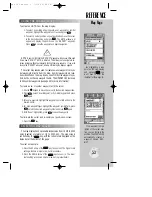
When using the ‘Measure
BRG/DST?’ option the cur-
sor is replaced with an
arrow and an ‘ENT REF’
(enter reference) prompt.
58
MAP PAGE OPTIONS (cont.)
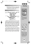
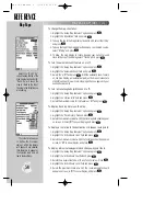
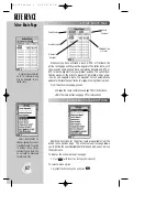
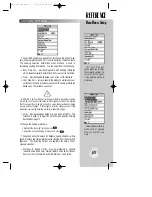
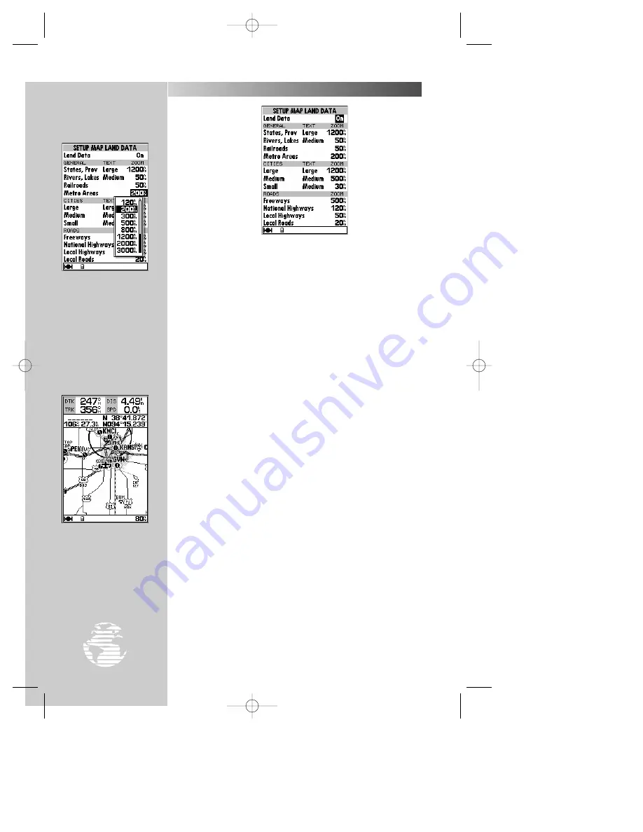
• Setup Land Data?
— allows you to control whether or not
geographic data appears on the map display, or
individually select what geographic data to show. Controls
for state boundaries, rivers, lakes, railroads, highways and
metro areas are provided. Cities may also be selected based
upon size. (Large cities are those with approximate popula-
tions greater than 100,000. Medium cities are those with
approximate populations greater than 5,000.) The setup
procedures for land data options are very similar to the avi-
ation data options described on the preceding page. Refer to
the ‘Setup Aviation Data?’ section for a better understanding
of how these setup features are used.
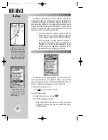
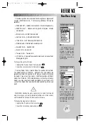
• Measure BRG/DIS?
— allows you to measure the
bearing and distance between any two points on the map
display.
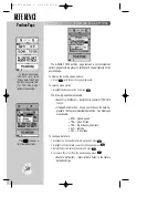
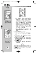
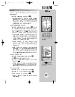
To measure the BRG/DIS between two points:
1. Highlight the ‘Measure BRG/DIS?’ option and press
T
. An
on-screen pointer will appear on the map display at your present
position.
2. Move the cursor to the desired reference point (the point that you
want to measure from) and press
T
.
3. Move the cursor to the point that you want to measure to. The bear-
ing and distance from the reference point will be displayed at the
bottom left of the data window.
4. Press the
Q
key to finish.
• Restore Defaults?
— resets all data fields to the factory
default settings.
NOTE
: This selection does not change map features, aviation data or land
data setups. Separate option windows are provided from the Setup Map
Features, Setup Map Aviation Data, and Setup Map Land Data screens (by
pressing
O
with the appropriate screen displayed) to return the settings on
these screens to factory defaults.
Map Page
#
?
gps 195 manual C 7/1/99 4:49 PM Page 58


