Once a datacard has been inserted, the map coverage and detail will
conform to the following conditions:
• When the selected zoom range is covered by both the internal
base map and a datacard, map detail will be displayed using
the data with the best resolution.
• When the selected zoom range exceeds the resolution of the
available chart data, overzoom map detail will be displayed.
An ‘Ovr Zm’ warning will appear on the status bar, next to the
map scale. Additional caution should be used while navigat-
ing in this mode, since at these zoom levels highway, water-
way and railway detail may appear slightly displaced from
actual position.
NOTE
: Whenever you zoom past the usable range of a datacard, the range field
will display ‘Ovr Zm’. This warning indicates that although the information is still
being displayed, you should exercise extreme caution using the data.
When a datacard is installed, the GPSMAP 195’s system will automati-
cally use the best available chart for display. As your position changes and
you zoom in/out, the system will automatically display the appropriate data
for the area you are in. When you exit the area covered by the datacard, the
GPSMAP 195 will revert back to the built-in basemap.
If you are not seeing certain map items (navaids, towns, highways, etc.),
check the map configuration settings available from the map options page,
as described on pages 54-58.
APPENDIX A
96
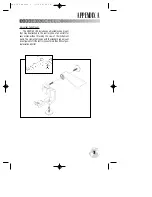
USING DATACARDS
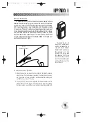
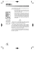
‘OVR ZM’ appears
next to the map scale
when the zoom level
exceeds the resolution
of the map data.
Exercise caution
when using this data.
#
?
gps 195 manual C 7/1/99 4:49 PM Page 96


