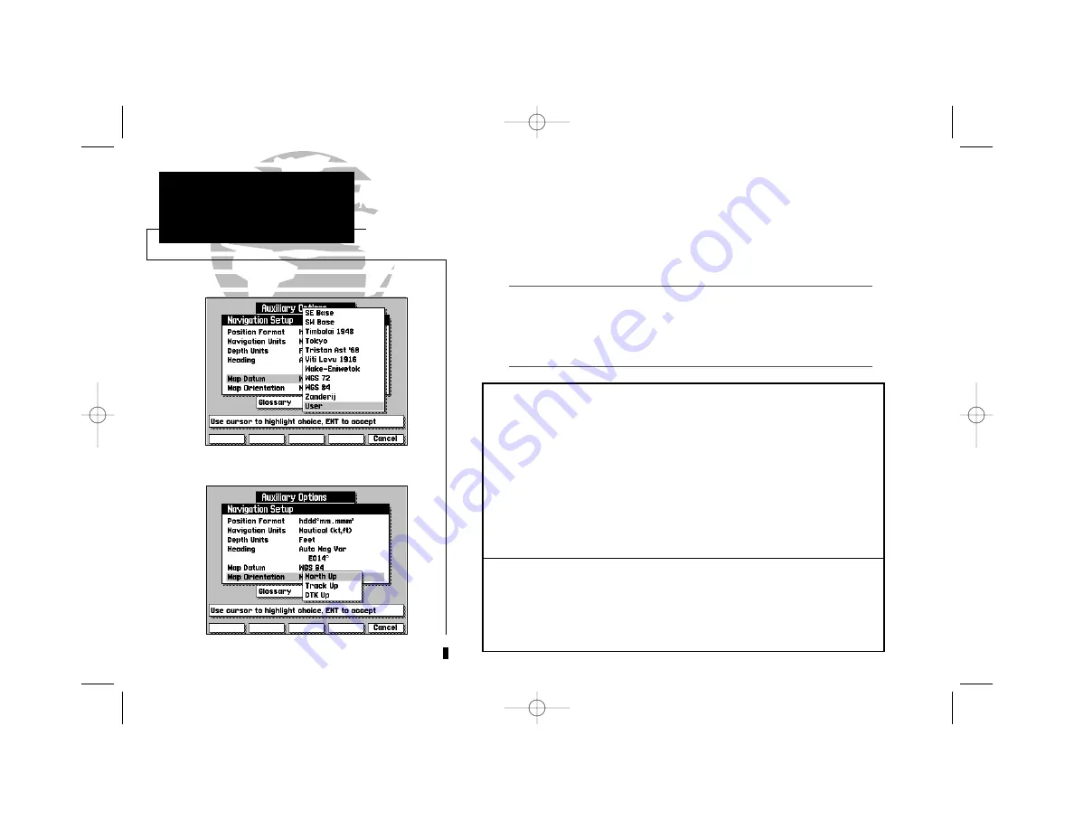
The navigation setup submenu is also used to select map datums and adjust
the built-in position and velocity filters. The GPSMAP system’s default map
datum is WGS 84, a worldwide map datum that’s suitable for use with most
government charts. You should only change the map datum if the legend on
the charts you are currently using specifies a different map datum.
Using an incorrect map datum can seriously effect the accuracy of your GPSMAP
navigator. The map datum used on the GPSMAP should always match the datum of
the chart you are using. If no datum information is indicated on the charts you are
using, contact the chart manufacturer. Selecting and defining a user datum is rec-
ommended only for navigators with experience in global models and datums.
Map Datum
provides a list of the available map datums for use with the
GPSMAP system. For a list of the available GPSMAP datums, see Appendix F. A
‘user’ datum option is also available to allow entry of your own datum corrections.
To define a user map datum:
1. Select the ‘User’ option from the datum list.
2. Enter the datum values in each field. The values you enter will be based on
their difference from the WGS 84 datum.
3. Highlight the OK prompt and press
C
to confirm the user datum.
Map Orientation
lets you specify whether the top of the map display remains
fixed at north (
North Up
); fixed along your desired course (
DTK Up
); or allow the
map display to continually rotate, keeping your current ground track at the top of
the display (
Track Up
). When any option other than
North Up
is selected, an indi-
cator will appear on the map display to always show you where north is.
50
SECTION
9
AUXILIARY MENU
Navigation Setup &
Map Settings
I
215225manb.qxd 4/27/00 9:22 AM Page 50


