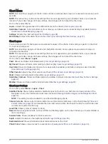
Depth Layer Settings
From a chart, select Menu > Layers > Chart > Depth.
Depth Shading: Specifies an upper and lower depth to shade between.
Shallow Shading: Sets the shades from the shoreline to the specified depth.
Spot Depths: Turns on spot soundings and sets a dangerous depth. Spot depths that are equal to or more
shallow than the dangerous depth are indicated by red text.
Fishing Contours: Sets the zoom level for a detailed view of bottom contours and depth soundings and
simplifies map presentation for optimal use while fishing.
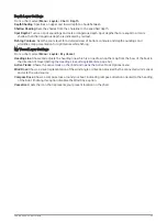
My Vessel Layer Settings
From a chart, select Menu > Layers > My Vessel.
Heading Line: Shows and adjusts the heading line, which is a line drawn on the map from the bow of the boat in
the direction of travel (
Setting the Heading Line and Angle Markers, page 63
).
Active Tracks: Shows the active track on the chart and opens the Active Track Options menu.
Wind Rose: Shows a visual representation of the wind angle or direction provided by the connected wind sensor
and sets the wind source.
Compass Rose: Shows a compass rose around your boat, indicating compass direction oriented to the heading
of the boat. Enabling this option disables the Wind Rose option.
Vessel Icon: Sets the icon that represents your present location on the chart.
Charts and 3D Chart Views
35


