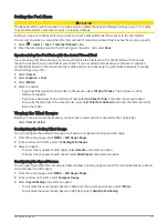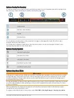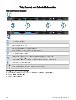
Setting the Graph Range and Time Scales
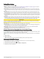
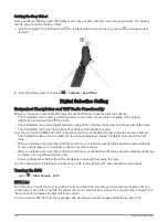
You can indicate the amount of time and the range of sensor data that appears in the depth, wind, and water
temperature graphs.
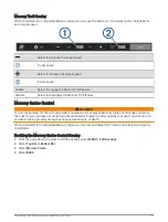
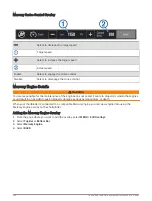
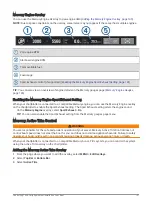
1 Select a graph in a Combo page, and select .
2 Select an option:
• To set a time-elapsed scale, select Duration. The default setting is 10 minutes. Increasing the time-
elapsed scale allows you to view variations over a longer period of time. Decreasing the time-elapsed
scale allows you to view more detail over a shorter period of time.
• To set the graph scale, select Scale. Increasing the scale allows you to view more variation in readings.
Decreasing the scale allows you to view more detail in the variation.
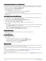
Disabling Graph Filtering
The wind speed and wind angle graph filtering smooths out sensor data before it is displayed on a graph. The
default setting is On. You can disable the filtering.
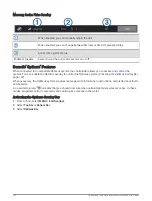
1 Select a graph in a Combo page, and select . .
2 Select Filter > Off.
inReach
®
Messages
WARNING
Do not read or reply to notifications while operating the vessel. Failure to pay attention to the conditions on the
water can result in vessel damage, personal injury, or death.
You can connect a compatible inReach satellite communicator to the chartplotter to view, reply to, and send
messages from the chartplotter.
NOTICE
The inReach device must be connected to the chartplotter and receiving satellite signals to send and receive
messages using the chartplotter.
Messages received and sent by the inReach device are grouped as conversations that are identified using the
names or addresses of the contacts included in the messages.
All messages are limited to 160 characters, including the name, address, or phone number of the contact
or contacts included in the message. If you send a message to larger groups of contacts, this reduces the
available characters for the message itself. When composing a message, the available character information is
shown in real time on the chartplotter to help avoid exceeding the character limit.
Connecting an inReach Device to the Chartplotter
You can connect a compatible inReach device to the chartplotter to manage messages.
1 Bring the inReach device within 3 m (10 ft.) of the chartplotter.
2 Select an option:
• On an inReach Mini device, from the main menu, select Setup > ANT+ > Status > On.
• On an inReach Mini 2 device or inReach Messenger , from the main menu, select Settings > inReach
Remote > Status.
• On a GPSMAP 86i, from the main menu, select Setup > Sensors > inReach Remote > Enabled > On.
3 On the chartplotter, select Vessel > InReach® > Start Pairing.
The chartplotter begins searching for and connecting to the inReach device. This can take up to 60 seconds.
4 If necessary, compare the code on the inReach device to the chartplotter, and select OK if they match.
The inReach and chartplotter connect automatically when they are within range.
inReach
®
Messages
129
Summary of Contents for GPSMAP1222
Page 1: ...GPSMAP 10X2 12X2SERIES Owner sManual...
Page 14: ......
Page 213: ......
Page 214: ...support garmin com GUID C3CEA164 A1CB 4B15 92F2 5C04944CC6F3 v21 January 2024...

