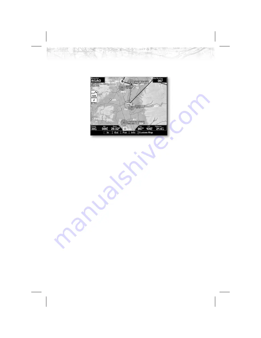
ground speed. Altitude and barometer setting information
is not shown in TAWS installations.
Load Chart (Optional)
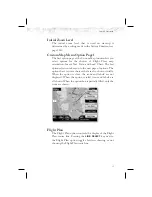
Once the airport is selected, the individual approach chart
to be overlaid can be loaded from a list of geo-referenced
approach charts available for that airport. Not all
approach charts can be overlaid in this fashion and only
geo-referenced charts will be presented for selection from
the Custom Map. Because of this, it is possible that
approach charts that are viewable under the Chart View
Function may not be presented in this list.
Note
The pilot must be aware that not all charts
in the loaded database can be used as an
overlay. The Chart function is automatic
when connected to an CNX-series GPS
receiver.
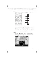
Press the Next Page
LINE SELECT
key to display the next
page of menu items.
27
Detailed Operation


