53
Pr
eliminary
Main Menu Page
Setup Page
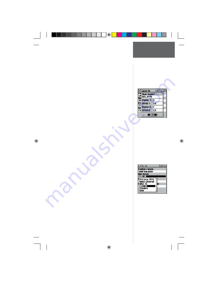
To setup Loran TD from the Main Menu:
1. When ‘Loran TD’ is chosen, the Loran TD setup
window will automatically appear.
2. To change the settings of any of the fi ve fi elds,
highlight the fi eld, press the
CLICK STICK IN
.
3. When done, highlight ‘Save’ and press IN.
4. To return to the setup page, simply select Loran TD
from the Position Format fi eld again..
If the active GRI Chain, secondary stations or offsets
have been changed since the waypoint was created, the
waypoint will now reference the active GRI chain and
secondary stations and adjust the TD coordinates ac-
cordingly. Remember that the GPS is not relying on the
LORAN signal for navigation and actually converts the TD
coordinate to a useful LAT/LON coordinate (in the back-
ground) before storing the waypoint to memory or using
it for navigation. Because of this the unit can navigate to a
TD coordinate anywhere in the world.
For more information on Loran TDs, you may down-
load Garmin’s “Loran TD Position Format Handbook”
from the Garmin web site at http://www.Garmin.com/
support/userManual.html.
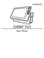
Map Datum -
Offers a selection of nearly all map
datums in common use. Every map is based on a map da-
tum (a reference model of the earth’s shape) and is usually
listed in the title block of the map. If you are comparing
GPS coordinates to a paper map, chart, or other reference,
the map datum in this fi eld must match the horizontal
map datum used to generate the map or other reference.
The default datum is WGS 84 (World Geodetic Survey
1984) and should only be changed when using maps or
charts specifying a different datum. If a map does specify
a datum, use the options list to fi nd datums applicable to
the region of the map, selecting the one that provides the
best positioning at a known point. If necessary, you also
may choose the ‘User’ datum for custom designed grids.
Distance/Speed -
You can choose from three units of
measure to display your rate of travel.
Elevation/Vertical Speed -
You can choose from two
units of measure to record your elevation and vertical
speed.
Setting Loran TD Info
Map Datum
Options Menu
190-00284-00_Prelim_FCC.indd 53
9/18/2003, 3:51:26 PM


