Reference
25
Customizing the Map
Excluding Points from the
Map Display
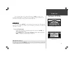
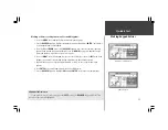
To modify the display of Points of Interest:
1. Use Steps 1 - 6 from the previous page (Waypoint Display Modification). This sets the map
scales on which Point of Interest symbols are displayed and the text size for the Point of
Interest name.
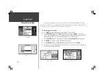
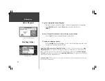
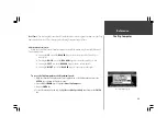
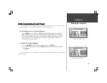
2. If you would like to exclude some types of Points of Interest from the display on the Map Page,
use the
ROCKER
keypad to highlight those types and press the
ENTER
key (top right picture). A
check mark indicates that type will be included in the display (if the map is at a scale setting
where Points of Interest are displayed).
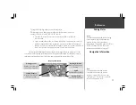
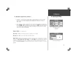
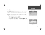
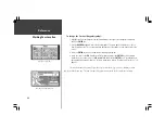
‘Vehicle’ File Tab
(lower right picture)
Vehicle icon -
Allows you to view your vehicle as an Indy Car or an Arrow.
Vehicle Color -
Allows you to choose from four different colors.
Show Vehicle
- allows you to program the StreetPilot to match your vehicle with roads in its memory.
It may be set to
On Roads
or
At GPS Location
. If set for
On Roads
, the StreetPilot shows your map
location on the nearest road. If it is not certain which road you are on, it will not show you on any
road. If set for
At GPS Location
, the unit will show your vehicle at your GPS location as accurately as
possible.
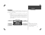
Customizing the Vehicle Icon

