SXBlue GPS Reference Manual
88
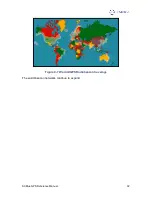
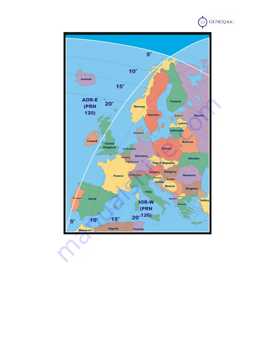
Figure C-2 EGNOS Coverage
SBAS Ionospheric Map Extrapolation
To improve upon the ionospheric map provided by SBAS, the SXBlue GPS receiver
extrapolates a larger ionospheric map from the broadcast coverage map, extending its
effective coverage. This allows the SXBlue GPS to be used successfully in regions that
competitive products may not.
For WAAS, this is especially important in Canada for regions north of approximately 54
°
N latitude and east of 110
°
W longitude. Extrapolation also provides enhanced coverage
throughout much of the Gulf of Mexico.
Please note that the process of estimating ionospheric corrections beyond the WAAS


