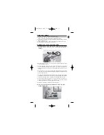
1.In preparation: mark points A and B on the map. Draw a straight line between
the two (AB).
2.Place the compass on the map. Turn the map and orient the north of the map
towards the magnetic north indicated by the compass. (see point 2 and 3 of
mode A).
3.Without moving the map, turn the whole compass to align its direction-of-
travel arrow with the line (AB) to be measured.
4.Rotate the dial without moving the plate until the magnetic needle is lined up
with the red marking of the capsule and the 0 of the scale marks. Read the
bearing (AB) at the intersection of the scale and the direction-of-travel arrow
of the compass.
5.Without changing anything, now you simply head in the direction of the direc-
tion-of-travel arrow of the compass, keeping the compass flat and the needle
over the red marking of the capsule.
C. Determining your position outdoors using triangulation (I am
lost; how do I locate my position on the map?)
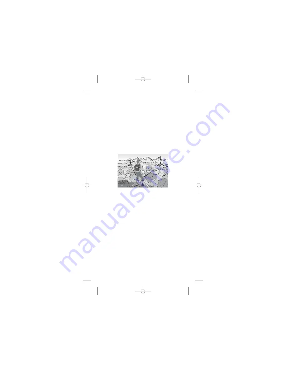
1.When you are lost, the first thing to do is to move to a promontory from which
you can observe in the landscape at least 2 landmarks (R1 and R2), that you
can also see on the map (mountains, lakes, bell towers). Ideally, the angle
of these two points in relation to your position should be 90° (they must never
be one behind the other or in opposite directions).
2.Point the direction-of-travel arrow towards landmark R1. Without changing
the orientation of the plate, turn the dial until the needle is over the red line
(3). Read bearing A at the intersection of the scale and the direction-of-tra-
vel arrow of the compass.
3.Place the map on a level surface and turn it so that the map's north is pointing
towards magnetic north indicated by the compass (see point 2 and 3 of mode A).
4.Find landmark R1 on the map. Orient the compass, starting at landmark R1
until the direction-of-travel arrow coincides with the bearing you measured
before. Use one of the long edges of the compass to draw the measured
bearing, passing through landmark R1.
5.Locate landmark R2, and then note the value of the bearing you have
measured (see mode B).
6.Turn the compass on the map (without moving the map) until the direction-
of-travel arrow of the compass is aligned with bearing B. Draw a straight line,
passing through R2.
7.Your position is thus at the intersection of the two bearings on the map.
8.We strongly recommend that you repeat the procedure a 3rd time with a third
landmark (R3) for greater safety. Now you know where you are.
11
NOTICE_C200 TLL 9/08/06 12:17 Page 11


