Revision A9 54
GRT Avionics Mini-X Installation, Setup & User Manual
6.2 Moving Map Database
The moving map is derived from the internal synthetic vision terrain database, the GRT
cities/water/railroads/roads/state boundaries database, and the Navigation Database. The
Navigation Database should be updated every 56 days. A free version is available from the GRT
website (continental U.S. only. Users outside the U.S. must use the Jeppesen subscription-based
service.) Both Navigation Database options display airports, airspace, navaids, fixes, and obstacles
on the map. Airport/Facilities and radio frequency information is also included in the database and
is viewable on the Mini through the map screen and flight plan page. For more information, see
the Appendix of this manual–Software Updates & Database Maintenance.
NOTE:
Databases from external GPS units are not capable of populating the moving map. They
can only transmit GPS position, flight plan data, and autopilot commands across to the Mini.
6.3 Map Screen Setup & Customization- Setup Menu
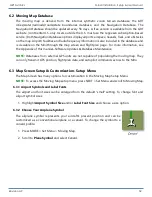
The Map Screen has many options for customization in the Moving Map Setup Menu.
NOTE:
To access the Moving Map setup menu, press NEXT > Set Menu and scroll to Moving Map.
6.3.1 Airport Symbols and Label Fonts
The airport and font sizes can be enlarged from the default “small” setting. To change font and
airport symbol sizes:
1. Highlight
Airport Symbol Size
and/or
Label Font Size
and choose a size option.
6.3.2 Choose Your Airplane Symbol
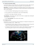
The airplane symbol represents your aircraft’s present position and can be
customized as a conventional airplane or a canard. To change the symbol to a
canard profile:
1. Press MORE > Set Menu > Moving Map.
2. Scroll to
Plane Symbol
and select Canard.

