10
Roll
– The number of degrees tilted left or right from level.
Pitch
– The number of degree tilted forward or backward from level.
Yaw
– The number of degrees rotated left or right of North.
GyroX
– The amount of acceleration measured while rolling left or right.
GyroY
– The amount of acceleration measured while pitching forward or
backward.
GyroZ
– Amount of acceleration measured when rotating (yaw) left or right.
Altitude
– The height of the quad in centimeters above its launch point. The
data from the barometric sensor will change as it warms up.
Alt. Velocity
– The amount of acceleration measured while moving up or down.
Battery
– Voltage of the flight battery.
Lat.
– Latitude from the GPS sensor.
Long.
– Longitude from the GPS sensor.
HAC
– Horizontal accuracy of the GPS signal in meters. The more satellite signals
acquired, the lower the value will be. The Green LED will come on when this
value is below 6 meters and will start flashing when the value is below 3 meters.
Azimuth
– The number of degrees from North that the FORM500 is pointing.
Heading
– The number of degrees from North that the FORM500 is pointing.
Version
– The current firmware version.
Limit Window
Dist. Limit
– This window is used to set a distance the FORM500 can fly
from the launch point in meters. The quad will tilt and or suddenly climb when
it reaches this limit.
Altitude Limit
– This window controls the maximum height of the FORM500
in meters. When the quad reaches the limit, it stops climbing.
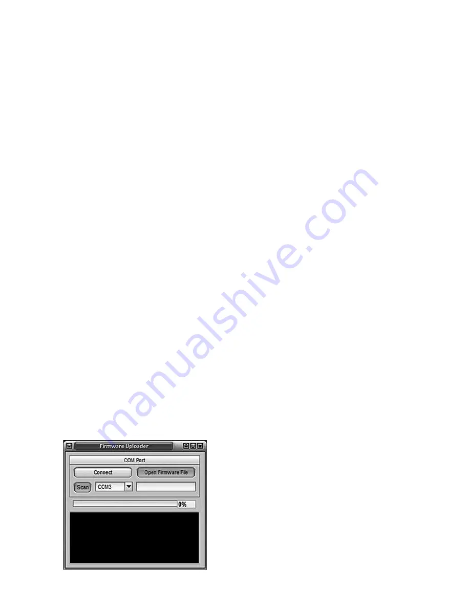
Firmware Update
After downloading the latest update,
connect the USB cable to the PC and
open the Firmware updating tool. Press
the “Open Firmware File” button to browse
for the update file. Select the file and press
the Open button to save the location of the
update file in the window.
Select the COM port that has been assigned
to the USB cable (usually it is not COM1)
in the drop-down window and press the
Connect Button.
Summary of Contents for FORM500
Page 17: ...17 ...
Page 20: ... HMXE0863 ...


