A8 GNSS RTK System Operation Manual
Instruction
A8 receiver can be used as dual-frequency static surveying
instrument. The collected static survey data is saved in the memory in
the main frame. The static survey data have to be downloaded to PC
with post-processing software to process.
The procedure of A8 static survey
1. Locate the instrument on a point, centering and leveling it.
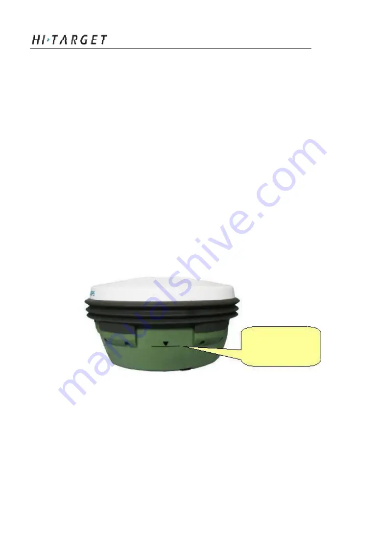
2. Measure the height of instr ument for three times, on condition that
the difference of e ach measuring is less than 3mm and the final height
of the instrument should be the average height. The height of
instrument should be defined from the controlling point of base centre
to upper edge of marker line. The antenna radius of A8 receiver is
0.087 meter; the height of phase center is 0.065 meter.
Instrument height
measure point
Figure 6-1 Instrument height measure point
3. Record the point name, instru ment S/N, instrument height and
observing initiated time.
4. Turn on the instrument and set it to static surveying mode.
53


