Total Station Manual
-
37 -
3.3
Measurement
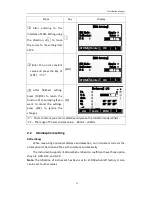
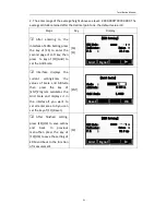
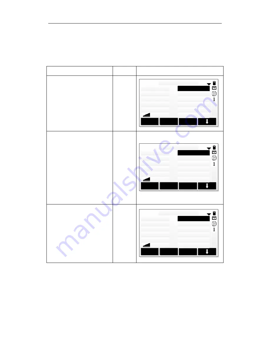
After all settings have been finished, you can start to measure. There are 3
pages to display the result of measurement, including all measurement data and you
can press [PAGE] to view.
Steps
Key
Display
○
1 Input the name of point
and instrument height.Move
the cursor to the next edit
text after entering each item.
You can enter Code when
necessary.
[ENT]
+
[ENT]
A1
ALL
DIST
REC
[Q-Survey] 1/3
Pt. :
T.H. :
Code :
HA :
VA :
:
1.500 m
0°00′00″
90°59′23″
○
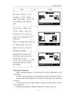
2 Aim at the center of
prism, press [F1](ALL) or
[F2](DIST)+[F3](REC) to start
to measure and record the
measurement
data.
The
measurement data including
angle data, distance data and
coordinatedata.You can press
[PAGE] to view.
[F1]
or
[F2]
+
[F3]
A1
ALL
DIST
REC
[Q-Survey] 1/3
Pt. :
T.H. :
Code :
HA :
VA :
:
1.500 m
0°00′00″
90°59′23″
10.011 m
○
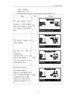
3 After finishing measuring
a point, program makes the
number of point add 1
automatically, aim at the
center of prism and repeat
the above steps to start next
point measurement.
A2
ALL
DIST
REC
[Q-Survey] 1/3
Pt. :
T.H. :
Code :
HA :
VA :
:
1.500 m
0°00′00″
90°59′23″
Summary of Contents for HTS-420R
Page 1: ......
Page 11: ...Total Station Manual 10 1 Name and function of eachpart 1 Name ...
Page 12: ...Total Station Manual 11 ...
Page 192: ......


