12
Revision 6 Feb/2009
KMD 550/850 FIS Addendum
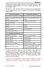
VALUE ADDED SERVICE WEATHER PRODUCTS
The following is a discussion of weather products offered with the value
added VDL subscription service. Accessing and navigating these ser-
vices will be discussed in detail later in this addendum.
All basic and value-added products (except those identified as VDL
Only) can also be obtained through a single fee-based XM subscription
service.
NOTE: Airport and VOR icons, with their identifiers, will be displayed on
the graphical FIS maps at the range settings selected on Map Setup
Page (2). However, only airport identifiers will be displayed on the
Graphical METARs map display.
NEXRAD
Next Generation Radar (NEXRAD) is formally designated WSR-88D,
which stands for Weather Service Radar (Doppler) and was commis-
sioned in 1988.
FIS VDL provides NEXRAD base reflectivity and XM WX provides
NEXRAD composite reflectivity. Each NEXRAD ground radar site scan is
composed of separate beam scans at several elevation angles for 360°
around the site. Base reflectivity is the highest precipitation echo (reflec-
tivity) contained in the lowest NEXRAD radar elevation angle scan (5°).
Composite reflectivity provides the highest precipitation echoes within all
of the elevation scan angles. The NEXRAD base or composite reflectivity
modes provide a display of echo intensity depicted by colors. NEXRAD
information is good for identifying precipitation intensity.
CAUTION: NEXRAD data must be used for strategic planning pur-
poses only. Due to inherent delays and relative age of the data
that can be experienced, NEXRAD data cannot be used for tactical
avoidance of weather.
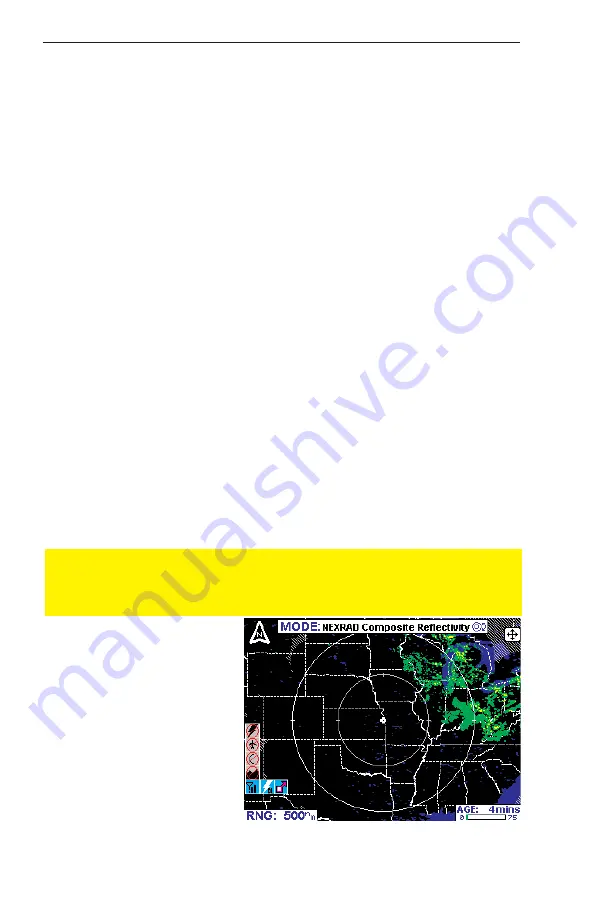
NEXRAD reflectivity images
older than 75 minutes are
discarded and no longer dis-
played.
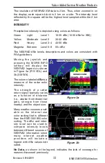
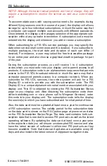
Figure 1 shows a typical
NEXRAD display. Political
boundaries, rivers, lakes,
and oceans are depicted in
conjunction with weather.
The NEXRAD data map is
always displayed in a north
up orientation.
Value Added Service Weather Products
Figure 1

