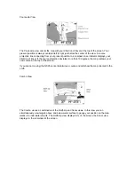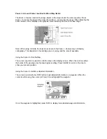
The Course-Up view orients the map with the direction of travel at the top of the screen. This is
useful during navigation as the map and course projection line movement closely relate to
corrections made to the boat’s course. When used at the more detailed map ranges, the proximity
of the course projection line to the track line indicates how accurately the course is being
followed.
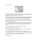
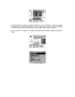
The Combo view displays the North-Up map and sonar information useful for locating and holding
a position over underwater structure.
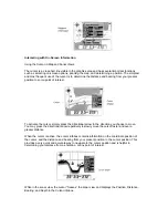
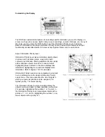
The Numeric View displays precise information about your course situation in a large, easy to
read format. The Cross Track Error indicator displays present position and course related to the
track line.

