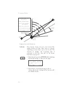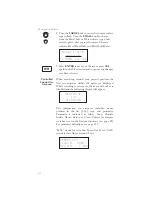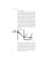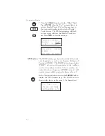
database coverage area. In the example shown above,
the MESA for the present position of the aircraft
would be 16,800 ft. The mountainous terrain would
add a 2,000 ft. buffer to the 14,800 ft. Maximum
Elevation figure indicated from the sectional chart.
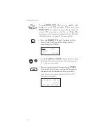
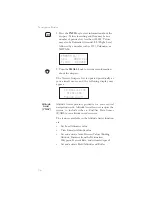
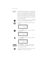
Flight Time
Flight Time shows the elapsed time in hours and
minutes (00:00 to 99:59) from departure. If the Flight
Timer is not started the value will be replaced with
dashes. The Flight Timer Trigger options are set in
the System Functions (see page 117).
FT00:07
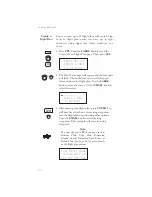
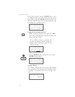
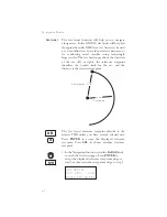
Time UTC
Time is displayed using the 24 hour clock based on
Universal Coordinated Time. Units are hours and
minutes (00:00 to 23:59).
13:15 UTC
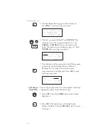
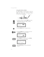
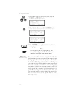
Estimated Time of Arrival (ETA)
The ETA is the arrival time at the current TO
waypoint at the current Ground Speed from the
present position. The TO waypoint is displayed.
Units are hours and minutes (00:00 to 23:59) based
on the UTC 24 hour clock. The values will be
replaced with dashes if the speed is less than 5 knots,
there is no valid GPS position, or the TO and/or
destination waypoints are blank.
eta aEUG
09:11
Nearest
Waypoint &
Airspace
Search
An important safety feature of the GX is its ability to
locate waypoints and airspaces closest to your
position. Should you have to land quickly, you can
use this feature to locate a nearby waypoint, assign it
as a destination, and quickly navigate to it. You can
also insert waypoints into an active flight plan.
Besides the nearest waypoints to your present
position, as an aid in flight planning, you can also
select a reference waypoint from the database and
search for waypoints near to it. You can set up the
Nearest Waypoint Search function to filter for certain
33
Navigation Basics
Summary of Contents for Apollo GX 50
Page 1: ......
Page 17: ...I 270 K 270 L 270 M 270 N 271 O 272 P 272 R 272 S 273 T 273 U 274 V 274 W 274 xv ...
Page 18: ...xvi ...
Page 88: ...Notes 70 Moving Map Functions ...

