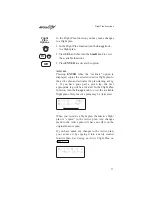
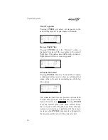

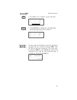


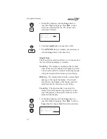

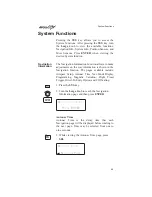

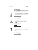

scale. The smart Keys select the display of the
waypoint types. The waypoint types selectable from
the map view are: airports, VORs, INTersections,
and NDBs. Press the smart key to control the
display of the waypoint type. There are three
selections possible: waypoint identifier and location
symbol, location symbol only, and off. Pressing the
smart key subsequent times will control which
selection is made. The change will also be displayed
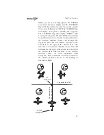
on the map setup pages. A solid, reversed waypoint
type annunciator above the smart key means the
waypoint identifier and location symbol will both be
displayed. A bold outline of the waypoint type
annunciator will show only a symbol on the
waypoint location. A thin outline around the
waypoint type means that it is turned off and no
information for that waypoint type will be displayed
on the map.
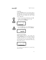
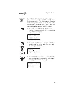
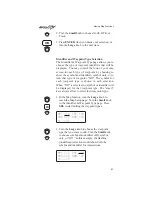
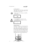
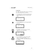
Map Scale
The Map Scaling is controlled by turning the Small
knob while viewing the map. The map scale value
shown is the distance from the top point of the
airplane icon to the top of the screen. Map scale
choices in nautical miles are: 0.1, 0.2, 0.5, 1, 2, 5,
10, 15, 20, 30, 40, 50, 75, 100, 150, 200, 250, and
auto. The auto selection automatically adjusts the
map scale so the “TO” remains at the top of the
display until the aircraft passes over the waypoint.
With
“auto”
selected,
the
map
scale
is
approximately equal to the distance to the TO
waypoint for distances greater than 0.2 nm.
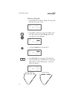
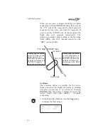
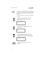
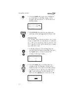
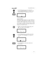
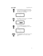
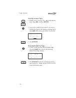
1. Press MAP.
2. Turn the Small knob to adjust the map scale.
3. Turn the Large knob to view the other Map
function displays.
MAP
APT
APT
APT
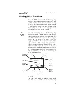
Moving Map Functions
90


