
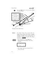
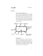
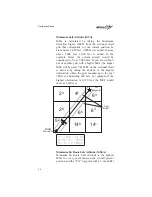
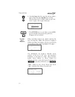
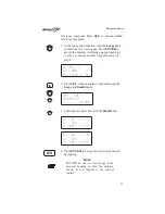


around the course. The value will be replaced with
dashes if there is no valid GPS position, the TO
waypoint is blank, or the current position is outside
of the database coverage area. In the example shown
above, the MESA for the present position of the
aircraft would be 16,800 ft. The mountainous terrain
would add a 2,000 ft. buffer to the 14,800 ft.
Maximum Elevation figure indicated from the
sectional chart.
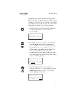
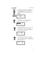
Flight Time
Flight Time shows the elapsed time in hours and
minutes (00:00 to 99:59) from departure. If the
Flight Timer is not started the value will be replaced
with dashes. The Flight Timer Trigger options are
set in the System Functions (see page 105).
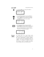
FT00:07
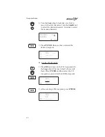
Time UTC
Time is displayed using the 24 hour clock based on
Universal Coordinated Time. Units are hours and
minutes (00:00 to 23:59).
13:15 UTC
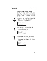
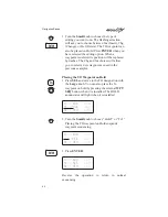
Estimated Time of Arrival (ETA)
The ETA is to the current TO waypoint at the
current Ground Speed from the present position.
The TO waypoint is displayed. Units are hours and
minutes (00:00 to 23:59) based on the UTC 24 hour
clock. The values will be replaced with dashes if the
speed is less than 5 knots, there is no valid GPS
position, or the TO and destination waypoints are
blank.
eta aEUG
09:11
Navigation Basics
27