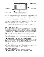


41
User Manual
Nav Aids &
: Sets On/Off/No Sector the graphical presentation of Lights, Signals, Buoys and
Light Sectors
Beacons. If No Sector is selected Nav-Aids are shown, Light Sectors are hidden
Attention Areas
: Sets On/Off the displaying of Attention Areas (areas in which special attention
by the mariner is required, because of natural or man-made hazards, or sailing
regulations and restrictions. Moreover a special symbol (!) is placed inside the
area selecting On option. This is valid also for the categories: FISHING
FACILITY, MARINE FARM/CULTURE, MILITARY PRACTICE AREA, RESTRICTED
AREA, SEAPLANE LANDING AREA. When the area is small, it is identified only
by the boundary).
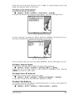
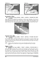
Tides & Currents
: Sets On/Off the displaying of the Tides and Currents. The new worldwide
database with tidal stream information is now available with MAX C-CARDs.
When data/time is available, Tidal stream arrows are shown on the charts,
indicating the direction and strength of the Tide. If no data/time is available
from the GPS or the chart plotter is not in Simulation mode, the icon on the map
is generic one.
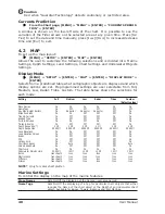
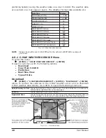
FOR
COLOR
CHART
PLOTTER
:
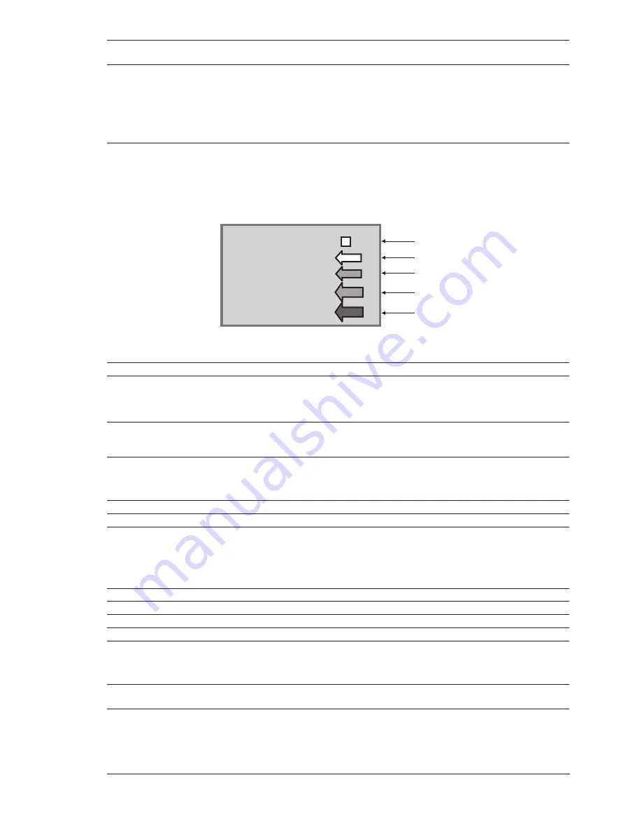
The color of the arrow denotes the
strength of the current as follows:
0 to 0.1 kn
-
0.2 to 1.0 kn -
1.1 to 2.0 kn -
2.1 to 3.0 kn -
3.1 to 9.9 kn -
Yellow
Yellow
Orange
Orange
Red
When the chart plotter receives a valid position fix, the Tide icons are shown on
the charts on the basis of the current date and time: the screen displays and
changes arrows as date/time changes.
Seabed Type
: Sets On/Off the displaying of the Seabed Type.
Ports & Services
: Sets On/Off the displaying of the Ports and Services (areas along shore with
facilities for mooring, downloading and uploading of ships, generally sheltered
from waves and winds. Port installations are piers, wharves, pontoons, dry
docks, cranes...).
Tracks & Routes
: Sets On/Off the displaying of the Tracks and Routes (recommended and
established routes for ships at sea, including traffic separation schemes, deep
water routes).
Depth Settings
To control the display on the map of the depth informations.
Depth Range Min*
: Sets a minimum reference for the Depth Areas.
Depth Range Max
: Sets a maximum reference for the Depth Areas.
NOTE*
Only for color chart plotter.
Land Settings
To control the display on the map of the terrestrial features.
Land Elevation
: Sets On/Off the Land Elevation display.
Land Elevation Values
: Sets On/Off the displaying of the Land Elevations Values.
Roads
: Sets On/Off the displaying of the Roads.
POIs
: Sets On/Off the displaying of Points Of Interest.
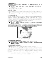
Chart Settings
To control the display on the map of the chart features.
Lat/Lon Grid
: Sets On/Off the displaying of the grid of parallels (of Latitude) and meridians
(of Longitude) drawn on the map.
Chart Boundaries
: Sets On/Off the displaying of the Chart Boundaries, which represents the
boundaries of the charts available on the chart plotter. Selecting Auto instead,
if we are in background charts only the first chart levels contained in the C-CARD
Summary of Contents for Chart Master 169CSI
Page 14: ...16 User Manual...
Page 34: ...36 User Manual...
Page 54: ...56 User Manual...
Page 72: ...74 User Manual...
Page 78: ...80 User Manual...
Page 81: ...83 User Manual INSTALLATION AND REMOVING EXTERNAL WIRING...
Page 84: ...86 User Manual...
Page 86: ...88 User Manual Dimensions...