


81
User Manual
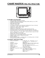
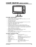
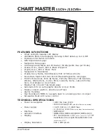
CHART MASTER
11CV+/11CVS+
FEATURES & FUNCTIONS
♦
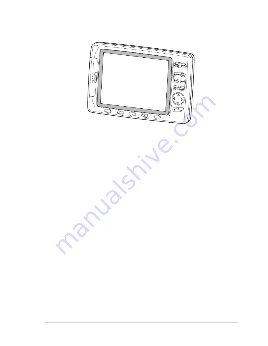
Direct sunlight viewable LCD display
♦
Worldwide Built-in Cartography showing C-MAP detail up to 2.0 NM
♦
Positional information from GPS
♦
GPS Signal Status page
♦
Navigation Data pages
♦
1000 Waypoints/Marks and 25 Routes (50 Waypoints max per Route)
♦
Create, Move, Insert, Edit or Erase Waypoint
♦
Create, Move, Edit or Erase Mark
♦
Navigation to Destination
♦
Create, Save, Name, Send/Receive, Edit or Follow a Route
♦
Route Data Report and User Points (Marks/Waypoints) List pages
♦
Find Ports Services, Ports By Name, Ports By Distance, Tide Stations,
Wrecks, Obstructions, Cursor, POIs, Lakes By Name, Lakes Informa-
tions, Coordinates or User Points
♦
Display Tide info and Tide Graph page
♦
Automatic Info on cartographic objects or User Points
♦
Display vessel's position, direction and Track
♦
Alarms Handling
♦
Man OverBoard (MOB) to navigate back to a missing person or object
♦
Simulation Mode with cursor control
TECHNICAL SPECIFICATIONS
♦
Power consumption
: 1280 mA max @12V
: 1500 mA max @12V
(with Video Camera connected)
♦
Power supply
: 10-35 Volt dc, 15 Watt max
:
10-35 Volt dc, 18 Watt max
(with Video Camera connected)
♦
Interface
: NMEA0183
♦
Autopilot Interface
: NMEA-0180, NMEA-0180/CDX, NMEA-0183
♦
Display
: TFT transmissive LCD
(active area 10.4")
/
TFT
transflective Sun Light Viewable Color LCD
(active area 10.4")
♦
Display Resolution
: 640 x 480 pixels
Summary of Contents for Chart Master 169CSI
Page 14: ...16 User Manual...
Page 34: ...36 User Manual...
Page 54: ...56 User Manual...
Page 72: ...74 User Manual...
Page 78: ...80 User Manual...
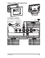
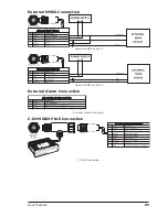
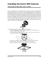
Page 81: ...83 User Manual INSTALLATION AND REMOVING EXTERNAL WIRING...
Page 84: ...86 User Manual...
Page 86: ...88 User Manual Dimensions...