- 39 -
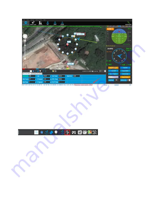
5)[Remaining route length] in the status bar will display the remaining route length.
Distance: real-time distance between UAV and target;
Height: The vertical height between the UAV and the takeoff point, i.e. the height of the
UAV relative to the ground of the take-off point.
Regular real-time GUIDED
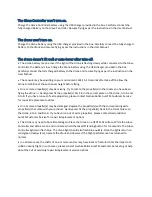
1) To control the takeoff of UAV, click the icon of [configure the path of GUIDED cruise]
on the shortcut keys toolbar and enter the mode of configuration of GUIDED point
operation, and the UAV mode will switch to [GPS];
2)
3) Configuration of real-time GUIDED point: Click GUIDED point configuration in the
map interface, and the system will automatically generate GUIDED number and
GUIDED route;
4) Click [GUIDED cruise], UAV will cruise according to the configured GUIDED points
in turn and the mode switches to [GUIDED point]
;
5) In the GUIDED flying process, click [Stop cruising] button to interrupt the cruise, and
the button turns to [continuing flight], and now UAV remains at GPS status. Click
[continuing flight] button and UAV will continue the GUIDED cruise.


