W W W . K A A R T A . C O M
4 6
SCANNING MENU T OOL S
Pointcloud
Colorization
Elevation
The colorization of pointclouds is set to an elevation
gradient.
Point Density
The colorization of pointclouds is set to point density.
Elevation
with
Scanning
Path
The colorization of pointclouds is set to a transparent
elevation background with the user trajectory
highlighted.
Time
The colorization of pointclouds is based on chronology
(time of pointcloud scan).
2
This tool is only available on the HD Camera view.
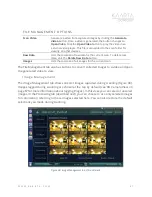
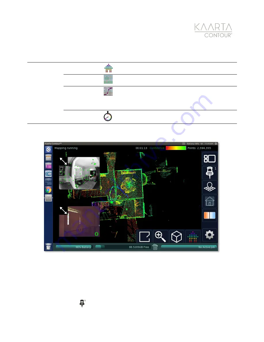
Figure 29: The Floor Plan orientation can be helpful for visualizing the alignment between rooms as you scan a large
space.
A d d i n g a K e yp o s e
A keypose allows recording of an image for a specific location. Keyposes refer to a camera
image and scanner location/orientation that is saved by Contour. By default, these are only
the starting and ending locations. You can also record additional Keyposes by pressing the
Add Keypose
button
on the touchscreen while scanning. This can be used to tag images


