W W W . K A A R T A . C O M
7 9
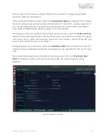
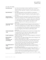
user. If left blank, the geo-registered map's coordinates will be referenced to the local
UTM zone, based on latitude/longitude at the start of the scan. EPSG codes can be found
The
Scale Correction
Factor
in essence magnifies or shrinks the entire scan by a
specified value before alignment is performed. This can be helpful to correct for lidar
calibration inaccuracies especially in multi-kilometer scans.
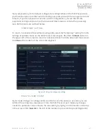
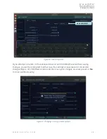
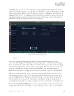
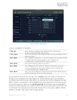
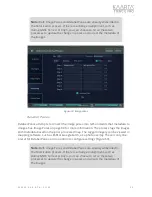
If you make changes to any default settings, you will be prompted to either save the
changes as a new preset or use the temporary setting to discard the values after usage.
See Temporary Setting on page 67 and Create a New Preset on page 67 for more details.
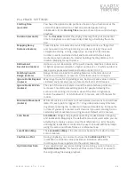
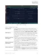
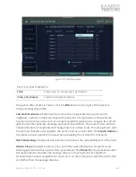
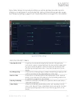
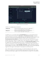
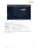
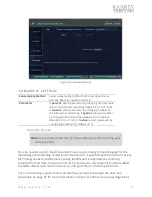
Figure 55: Align settings.
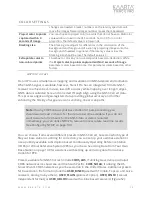
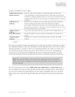
ALIG N SE TTINGS
Align to GNSS
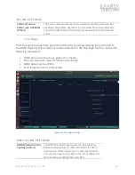
Check box to use GNSS data for alignment. Uncheck for loop closure
only.
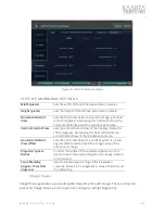
GNSS Min Point
Spacing (m)
The GNSS Min Point Spacing sets the point spacing between GNSS
points (in meters) to select for use in loop closure. Default value is 5m.
Lowering the value can improve alignment in tight turns, for example,
but will increase processing time and effort.
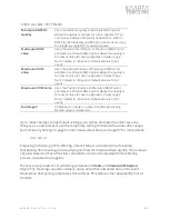
Min GNSS fix quality
Uses the GNSS fix quality to eliminate GNSS points where the quality is
too low for use in alignment. You can choose between fix quality of
Automatic, GPS (1), DGPS (2), RTK Float (5) and RTK (4), in order of
accuracy from least accurate GPS to most accurate.

